MyTopo
Castle Rock Minnesota US Topo Map
Couldn't load pickup availability
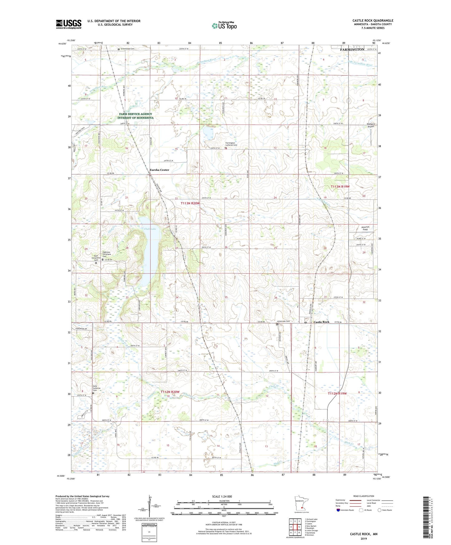
2022 topographic map quadrangle Castle Rock in the state of Minnesota. Scale: 1:24000. Based on the newly updated USGS 7.5' US Topo map series, this map is in the following counties: Dakota. The map contains contour data, water features, and other items you are used to seeing on USGS maps, but also has updated roads and other features. This is the next generation of topographic maps. Printed on high-quality waterproof paper with UV fade-resistant inks.
Quads adjacent to this one:
West: New Market
Northwest: Orchard Lake
North: Farmington
Northeast: Coates
East: Randolph
Southeast: Dennison
South: Northfield
Southwest: Little Chicago
This map covers the same area as the classic USGS quad with code o44093e2.
Contains the following named places: Applewood Orchard, Castle Rock, Castle Rock Methodist Church, Castle Rock Post Office, Christiana Post Office, Chub Lake, Curry Airport, Dutch Creek, East Christiania Cemetery, Eureka Center, Eureka Center Church, Farmington Lutheran Cemetery, Greenvale Cemetery, Greenwood Cemetery, Highview Christiana Cemetery, Highview Church, Jennrich Field, Le Nores Airport, Mud Creek, Nielsen's Airport, Prairie Creek Community School, Township of Eureka, Township of Greenvale, Township of Waterford