MyTopo
Clements Minnesota US Topo Map
Couldn't load pickup availability
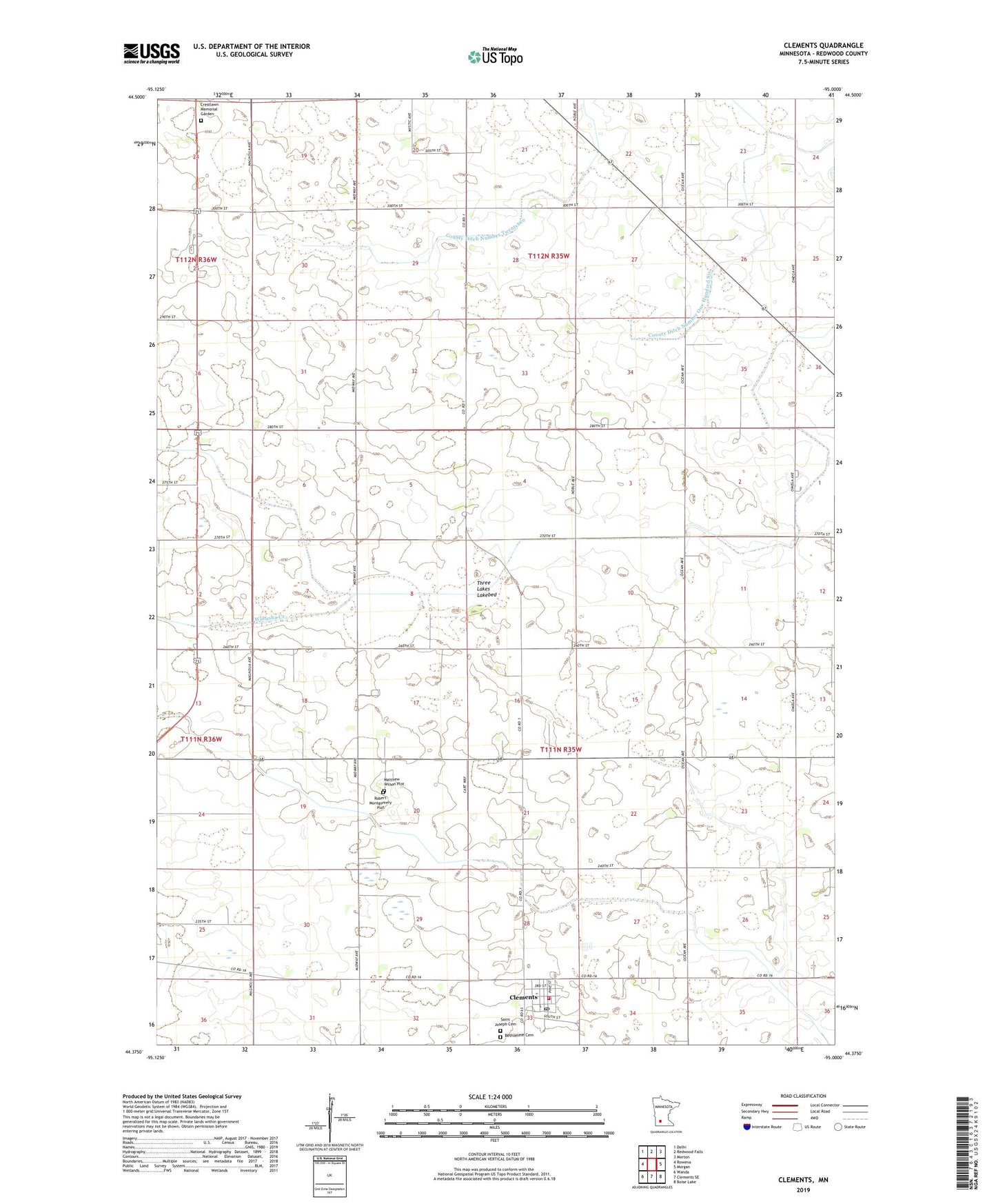
2022 topographic map quadrangle Clements in the state of Minnesota. Scale: 1:24000. Based on the newly updated USGS 7.5' US Topo map series, this map is in the following counties: Redwood. The map contains contour data, water features, and other items you are used to seeing on USGS maps, but also has updated roads and other features. This is the next generation of topographic maps. Printed on high-quality waterproof paper with UV fade-resistant inks.
Quads adjacent to this one:
West: Rowena
Northwest: Delhi
North: Redwood Falls
Northeast: Morton
East: Morgan
Southeast: Boise Lake
South: Clements SE
Southwest: Wanda
This map covers the same area as the classic USGS quad with code o44095d1.
Contains the following named places: Bethlehem Cemetery, City of Clements, Clements, Clements City Hall, Clements Post Office, Clements Volunteer Fire Department and First Responders, County Ditch Number One Hundred Six, County Ditch Number Sixtyfour, County Ditch Number Twentyfour, County Ditch Number Twentytwo, Crestlawn Memorial Garden, Kingdom Hall of Jehovah's Witnesses, Matthew Wilson Plot, Robert Montgomery Plot, Saint Joseph Cemetery, Saint Joseph's Church, Schiller Turkey Farm, Three Lakes Lakebed, Township of Three Lakes