MyTopo
Downer Minnesota US Topo Map
Couldn't load pickup availability
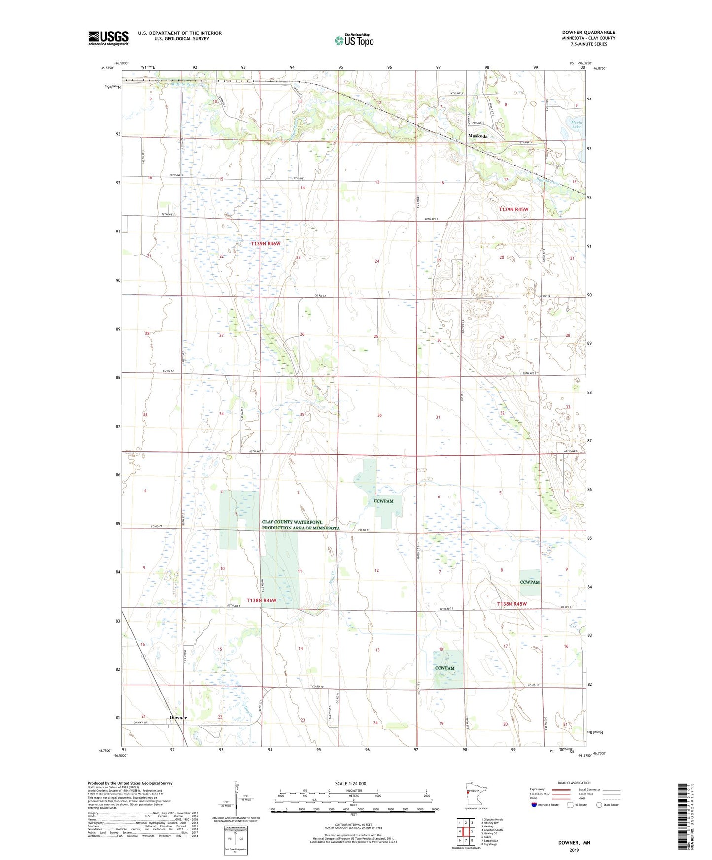
2022 topographic map quadrangle Downer in the state of Minnesota. Scale: 1:24000. Based on the newly updated USGS 7.5' US Topo map series, this map is in the following counties: Clay. The map contains contour data, water features, and other items you are used to seeing on USGS maps, but also has updated roads and other features. This is the next generation of topographic maps. Printed on high-quality waterproof paper with UV fade-resistant inks.
Quads adjacent to this one:
West: Glyndon South
Northwest: Glyndon North
North: Hawley NW
Northeast: Hawley
East: Hawley SE
Southeast: Big Slough
South: Barnesville
Southwest: Baker
This map covers the same area as the classic USGS quad with code o46096g4.
Contains the following named places: Buffalo River State Park, Clay County Landfill, County Ditch Number Fiftyseven, Downer, Downer Post Office, Magnusson State Wildlife Management Area, Muskoda, Muskoda Post Office, Stockwood, Stockwood Post Office, Township of Elkton, Township of Riverton