MyTopo
Ensign Lake West Minnesota US Topo Map
Couldn't load pickup availability
Also explore the Ensign Lake West Forest Service Topo of this same quad for updated USFS data
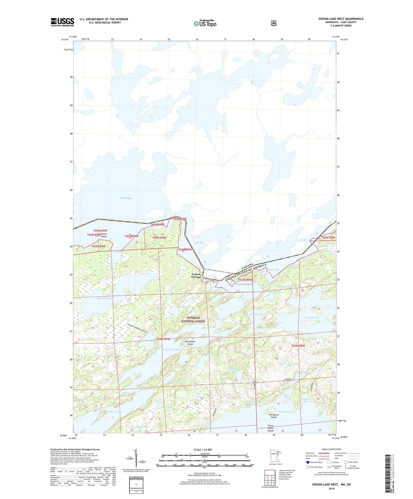
2022 topographic map quadrangle Ensign Lake West in the state of Minnesota. Scale: 1:24000. Based on the newly updated USGS 7.5' US Topo map series, this map is in the following counties: Lake. The map contains contour data, water features, and other items you are used to seeing on USGS maps, but also has updated roads and other features. This is the next generation of topographic maps. Printed on high-quality waterproof paper with UV fade-resistant inks.
Quads adjacent to this one:
West: Basswood Lake East
East: Ensign Lake East
Southeast: Lake Insula
South: Snowbank Lake
Southwest: Ojibway Lake
This map covers the same area as the classic USGS quad with code o48091a4.
Contains the following named places: Bass Bay, Bayley Bay, Beaver Island, Birch Lake, Boundary Waters Canoe Area Wilderness, Ensign Lake, Found Lake, Grub Lake, Half Burnt Island, Horseshoe Island, Inlet Bay, Jerky Lake, Jinx Lake, Juggler Lake, Manomin Lake, Newfound Bay, Newfound Lake, North Bay, Perdu Lake, Prairie Portage, Prairie Portage Dam, Rice Bay, Skull Lake, Spigot Lake, Splash Lake, Spree Lake, Sucker Lake, Thermal Lake, Three Sisters Island, Wooden Leg Lake