MyTopo
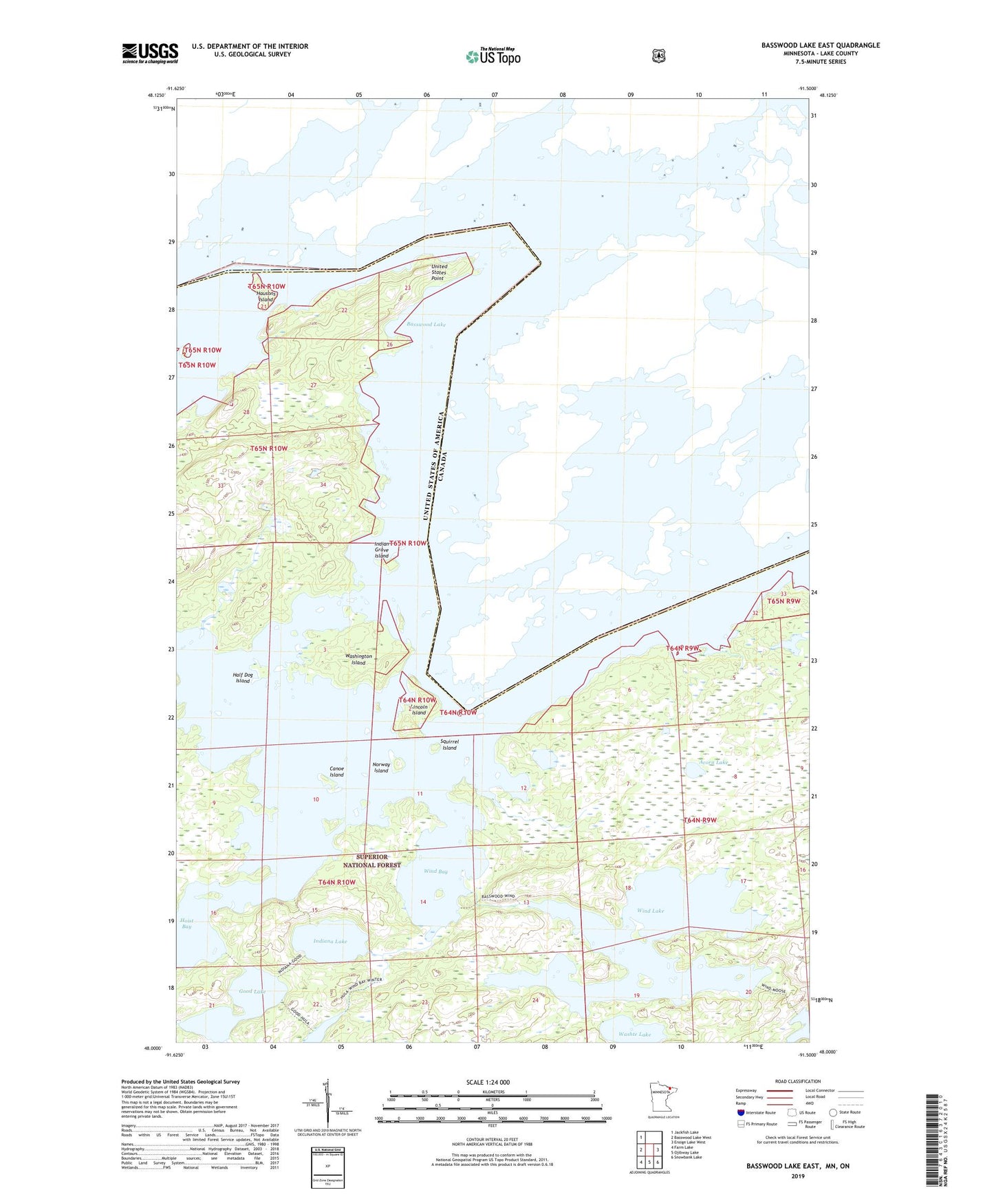
Basswood Lake East Minnesota US Topo Map
Couldn't load pickup availability
Also explore the Basswood Lake East Forest Service Topo of this same quad for updated USFS data
2022 topographic map quadrangle Basswood Lake East in the state of Minnesota. Scale: 1:24000. Based on the newly updated USGS 7.5' US Topo map series, this map is in the following counties: Lake. The map contains contour data, water features, and other items you are used to seeing on USGS maps, but also has updated roads and other features. This is the next generation of topographic maps. Printed on high-quality waterproof paper with UV fade-resistant inks.
Quads adjacent to this one:
West: Basswood Lake West
Northwest: Jackfish Lake
East: Ensign Lake West
Southeast: Snowbank Lake
South: Ojibway Lake
Southwest: Farm Lake
This map covers the same area as the classic USGS quad with code o48091a5.
Contains the following named places: Acorn Lake, Basswood Lake, Canoe Island, Good Lake, Half Dog Island, Hausons Island, Indian Grave Island, Indiana Lake, Lincoln Island, Norway Island, Quetco Wilderness Research Center, Squirrel Island, United States Point, Washington Island, Washte Lake, Wind Bay, Wind Lake, Wind Lake Dam