MyTopo
Snowbank Lake Minnesota US Topo Map
Couldn't load pickup availability
Also explore the Snowbank Lake Forest Service Topo of this same quad for updated USFS data
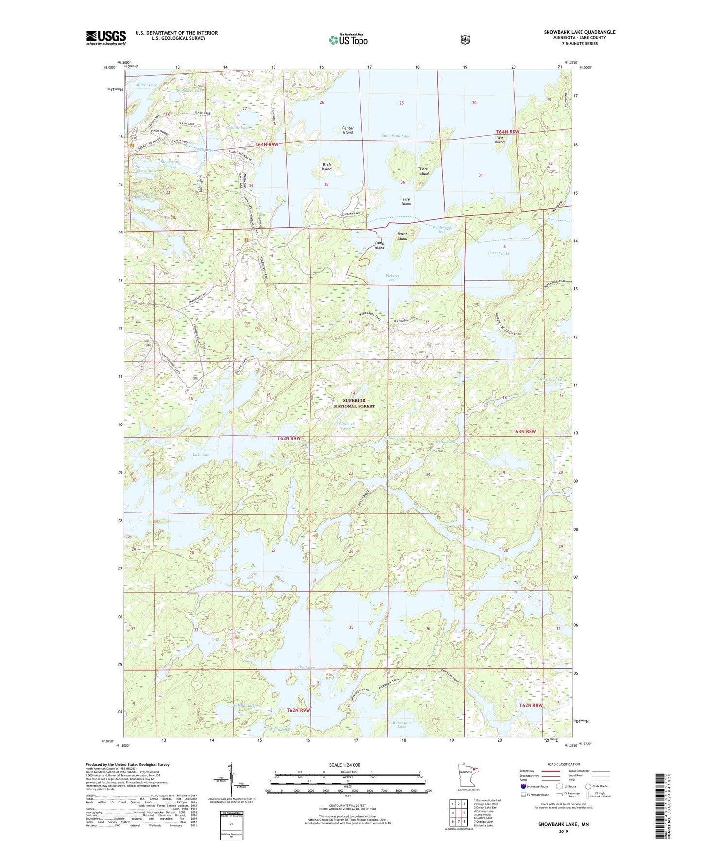
2022 topographic map quadrangle Snowbank Lake in the state of Minnesota. Scale: 1:24000. Based on the newly updated USGS 7.5' US Topo map series, this map is in the following counties: Lake. The map contains contour data, water features, and other items you are used to seeing on USGS maps, but also has updated roads and other features. This is the next generation of topographic maps. Printed on high-quality waterproof paper with UV fade-resistant inks.
Quads adjacent to this one:
West: Ojibway Lake
Northwest: Basswood Lake East
North: Ensign Lake West
Northeast: Ensign Lake East
East: Lake Insula
Southeast: Isabella Lake
South: Quadga Lake
Southwest: Gabbro Lake
This map covers the same area as the classic USGS quad with code o47091h4.
Contains the following named places: Becoosin Lake, Birch Island, Blackstone Lake, Bridge Lake, Burnt Island, Camp Island, Center Island, Climax Lake, Delta Lake, Discovery Lake, Drumstick Creek, East Island, Ennis Lake, Fernberg Lookout Tower, Fire Island, Flash Lake, Griddle Lake, Harri Island, Holiday Lake, Judd Lake, Lake Four, Lake Number One Dam, Lake Number Two Dam, Lake One, Lake Three, Lake Two, North Wilder Lake, Parent Lake, Pickerel Bay, Quartz Lake, Rifle Lake, Rock Island Lake, Secret Lake, Slowfoot Lake, Snowbank Lake, Snowbank Trail, Sommers Lake, Spinnan Lake, Township of Fall Lake, Wilderness Bay, Wolftrack Lakes