MyTopo
Lake Bronson Minnesota US Topo Map
Couldn't load pickup availability
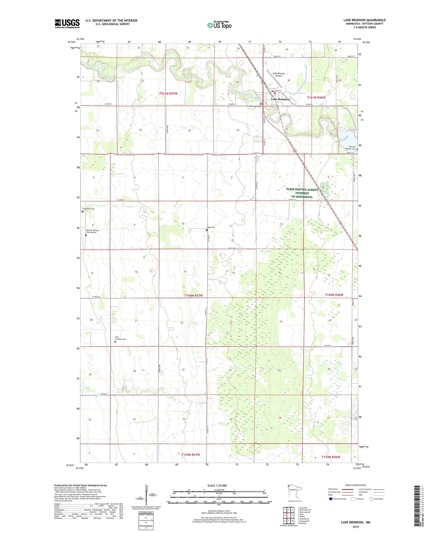
2022 topographic map quadrangle Lake Bronson in the state of Minnesota. Scale: 1:24000. Based on the newly updated USGS 7.5' US Topo map series, this map is in the following counties: Kittson. The map contains contour data, water features, and other items you are used to seeing on USGS maps, but also has updated roads and other features. This is the next generation of topographic maps. Printed on high-quality waterproof paper with UV fade-resistant inks.
Quads adjacent to this one:
West: Enok
Northwest: Lancaster
North: Skull Lake SW
Northeast: Skull Lake SE
East: Halma
Southeast: Karlstad
South: Karlstad SW
Southwest: Kennedy SE
This map covers the same area as the classic USGS quad with code o48096f6.
Contains the following named places: Bronson Lake Dam, City of Lake Bronson, Community Covenant Church, East Emmaus Cemetery, East Emmaus Church, Johansson Cemetery, Kittson County Historical Museum, Lake Bronson, Lake Bronson Airport, Lake Bronson Fire Department, Lake Bronson Post Office, Mandie Johnson Farm Burials, Riverside Cemetery, Township of Jupiter, Vagle Cemetery, Zion Lutheran Church