MyTopo
South of Wahpeton Minnesota US Topo Map
Couldn't load pickup availability
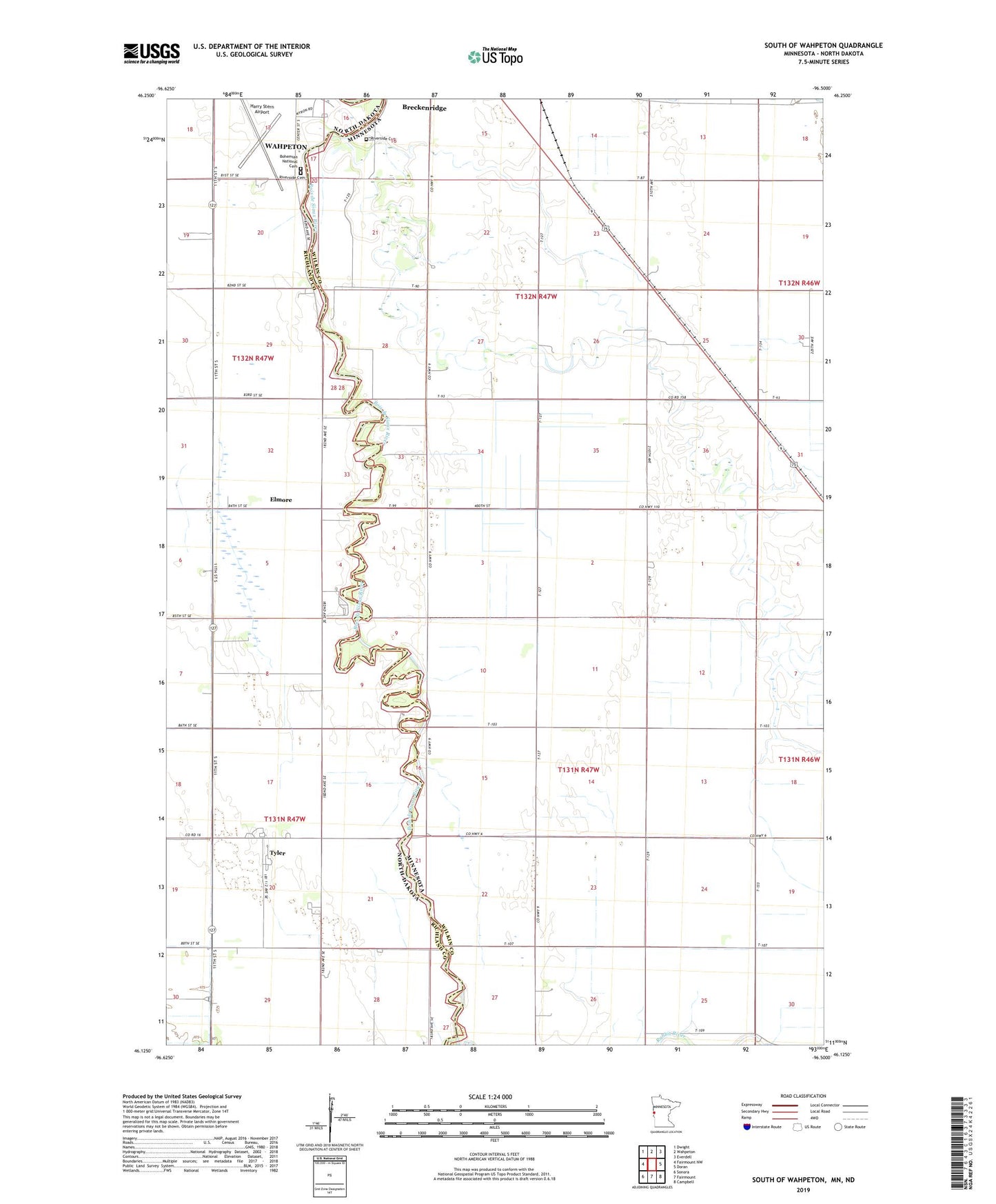
2022 topographic map quadrangle South of Wahpeton in the states of Minnesota, North Dakota. Scale: 1:24000. Based on the newly updated USGS 7.5' US Topo map series, this map is in the following counties: Wilkin, Richland. The map contains contour data, water features, and other items you are used to seeing on USGS maps, but also has updated roads and other features. This is the next generation of topographic maps. Printed on high-quality waterproof paper with UV fade-resistant inks.
Quads adjacent to this one:
West: Fairmount NW
Northwest: Dwight
North: Wahpeton
Northeast: Everdell
East: Doran
Southeast: Campbell
South: Fairmount
Southwest: Sonora
Contains the following named places: Bohemian National Cemetery, County Ditch Number 55, Elmore, Riverside Cemetery, Township of Breckenridge, Tyler