MyTopo
Stephen East Minnesota US Topo Map
Couldn't load pickup availability
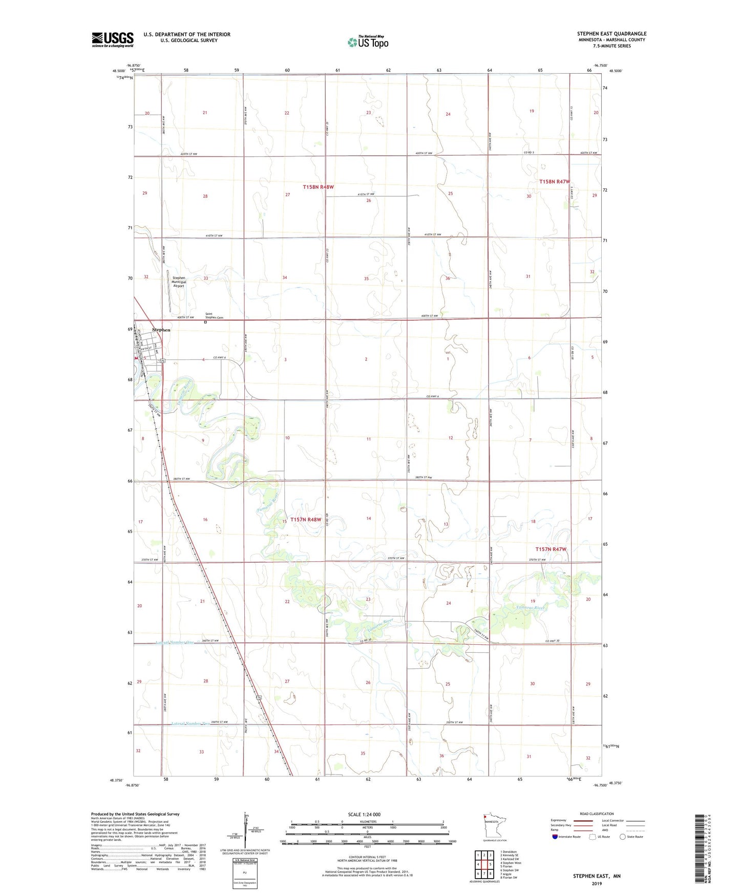
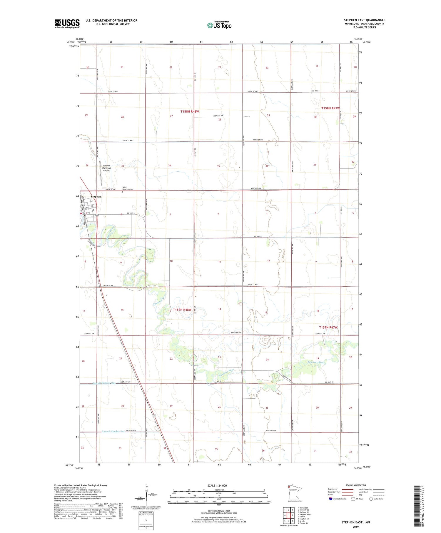
2019 topographic map quadrangle Stephen East in the state of Minnesota. Scale: 1:24000. Based on the newly updated USGS 7.5' US Topo map series, this map is in the following counties: Marshall. The map contains contour data, water features, and other items you are used to seeing on USGS maps, but also has updated roads and other features. This is the next generation of topographic maps. Printed on high-quality waterproof paper with UV fade-resistant inks.
Quads adjacent to this one:
West: Stephen West
Northwest: Donaldson
North: Kennedy SE
Northeast: Karlstad SW
East: Florian
Southeast: Florian SW
South: Argyle
Southwest: Stephen SW
Contains the following named places: County Ditch Number Fourteen, County Ditch Number Seventeen, County Ditch Number Sixteen, Kittson Memorial Clinic, Lincoln School, Saint Stephen Cemetery, School Number 46, School Number 55W, Stephen, Stephen City Police Department, Stephen Municipal Airport, Stephen Post Office, Stephen Station, Stephen Volunteer Ambulance, Stephen Volunteer Fire Department, Township of Sinnott, Township of Tamarac, Valley Court