MyTopo
Winona East Minnesota US Topo Map
Couldn't load pickup availability
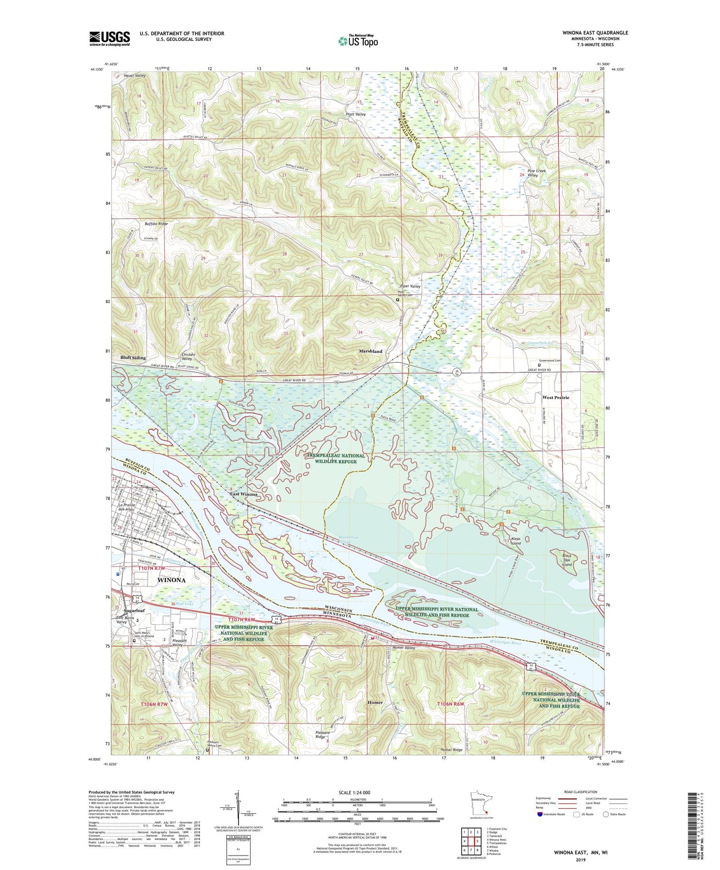
2022 topographic map quadrangle Winona East in the states of Wisconsin, Minnesota. Scale: 1:24000. Based on the newly updated USGS 7.5' US Topo map series, this map is in the following counties: Winona, Buffalo, Trempealeau. The map contains contour data, water features, and other items you are used to seeing on USGS maps, but also has updated roads and other features. This is the next generation of topographic maps. Printed on high-quality waterproof paper with UV fade-resistant inks.
Quads adjacent to this one:
West: Winona West
Northwest: Fountain City
North: Dodge
Northeast: Tamarack
East: Trempealeau
Southeast: Pickwick
South: Witoka
Southwest: Wilson
Contains the following named places: Black Oak Island, Blacksmith Slough, Bluff Siding, Bluff Siding Census Designated Place, Brezinski School, Chicken Valley, Community Memorial Hospital Heliport, Decker Valley, Delta Land Farm, Dodge Lake, East Burns Valley, East Winona, Family Medicine Center of Winona, Gabryck Park, Greenwood Cemetery, Homer, Homer Census Designated Place, Homer Creek, Homer Post Office, Homer United Methodist Church, Homer Valley, KAGE-AM (Winona), Lake Winona Manor, Marshland, Marshland School, Morningside Terrace, Mud Lake, Pickwick Fire and Rescue Department Station 2, Pine Creek, Pine Creek Valley, Piper Valley, Piper Valley Cemetery, Platt School, Platt Valley, Pleasant Valley, Pleasant Valley Cemetery, Pleasant Valley Creek, Pleasant Valley Evangelical Church, Pleasant Valley Site Number 12 Dam, Saint John's Catholic Parish, Saint Mary's Cemetery of Winona, Saint Stanislaus Catholic Church, Saint Stanislaus School, Sobieski Park, Sugarloaf, Tamarack Creek, Town of Buffalo, Town of Buffalo Park, Trempealeau National Wildlife Refuge, Washington-Kosciusko School, West Prairie, West Prairie School, Winona Area Technical School, Winona Country Club, Winona Health Hospital, Winona KOA Campground, Winona Middle School


