MyTopo
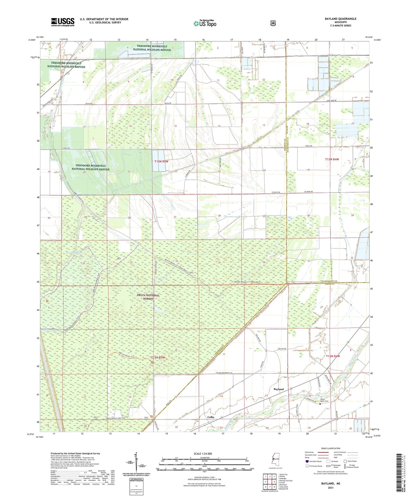
Bayland Mississippi US Topo Map
Couldn't load pickup availability
Also explore the Bayland Forest Service Topo of this same quad for updated USFS data
2024 topographic map quadrangle Bayland in the state of Mississippi. Scale: 1:24000. Based on the newly updated USGS 7.5' US Topo map series, this map is in the following counties: Sharkey, Yazoo, Humphreys. The map contains contour data, water features, and other items you are used to seeing on USGS maps, but also has updated roads and other features. This is the next generation of topographic maps. Printed on high-quality waterproof paper with UV fade-resistant inks.
Quads adjacent to this one:
West: Rolling Fork East
Northwest: Delta City
North: Richey
Northeast: Midnight
East: Louise
Southeast: Bayland SE
South: Holly Bluff
Southwest: Red Rock
This map covers the same area as the classic USGS quad with code o32090h6.
Contains the following named places: Bayland, Colby, Dowling Bayou, Hollands, Holly Bluff Cut-Off, McCann Bayou, New Foundation Church, New Hope Church, Prices Chapel, Theodore Roosevelt National Wildlife Refuge, True Light Church, Valley Home Cemetery, W H Hodnett Catfish Ponds Dam, ZIP Code: 38721