MyTopo
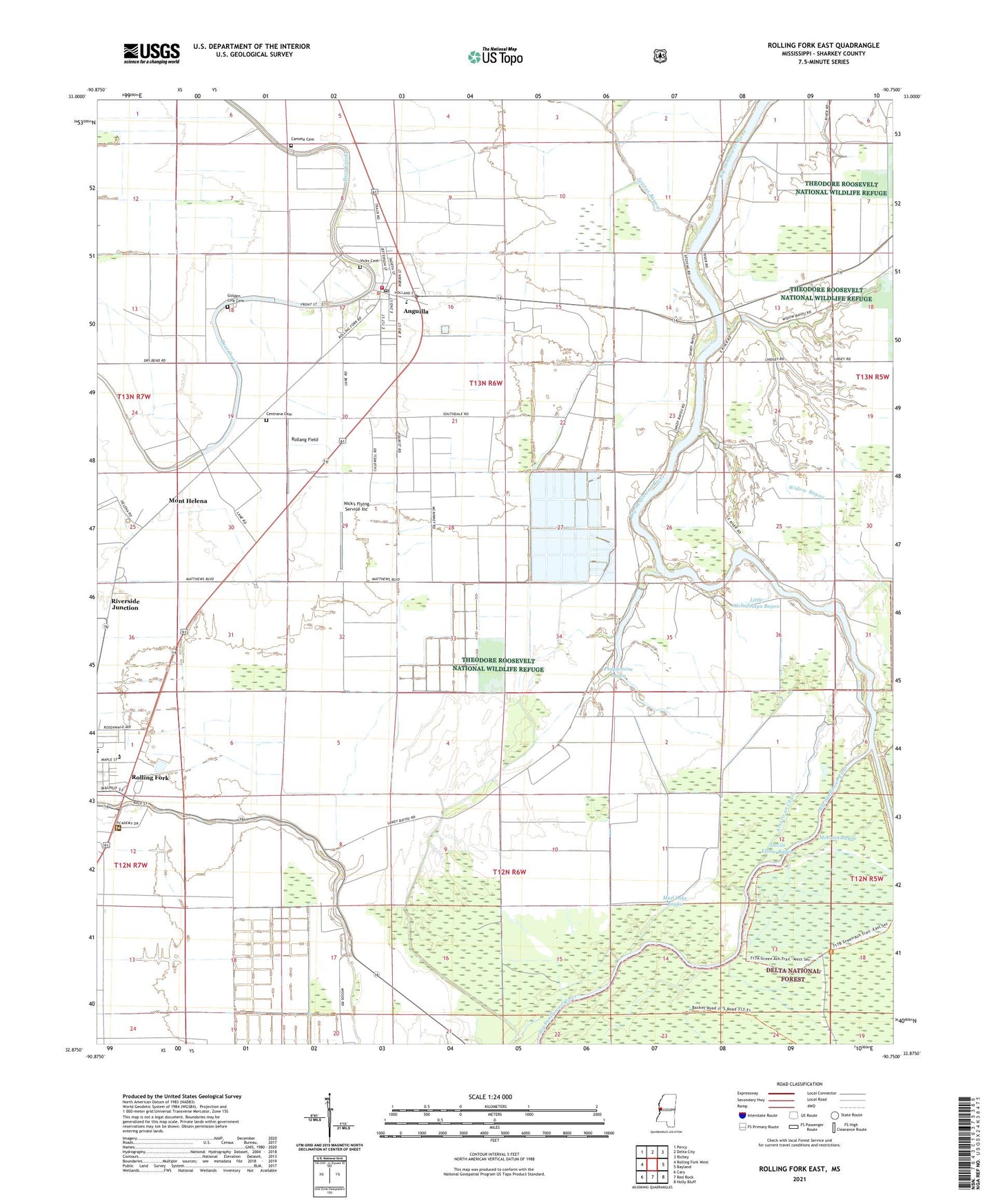
Rolling Fork East Mississippi US Topo Map
Couldn't load pickup availability
Also explore the Rolling Fork East Forest Service Topo of this same quad for updated USFS data
2024 topographic map quadrangle Rolling Fork East in the state of Mississippi. Scale: 1:24000. Based on the newly updated USGS 7.5' US Topo map series, this map is in the following counties: Sharkey. The map contains contour data, water features, and other items you are used to seeing on USGS maps, but also has updated roads and other features. This is the next generation of topographic maps. Printed on high-quality waterproof paper with UV fade-resistant inks.
Quads adjacent to this one:
West: Rolling Fork West
Northwest: Percy
North: Delta City
Northeast: Richey
East: Bayland
Southeast: Holly Bluff
South: Red Rock
Southwest: Cary
This map covers the same area as the classic USGS quad with code o32090h7.
Contains the following named places: Africa, American Chute, Anguilla, Anguilla Baptist Church, Anguilla Elementary School, Anguilla High School, Anguilla Methodist Church, Anguilla Post Office, Anguilla Volunteer Fire Department, Atchafalaya Bayou, Big Eddy Landing, Big Widow Bayou, Cameta Cemetery, Centrana Cemetery, Chapel Landing, Chapel of the Cross Episcopal Church, Christian Light Baptist Church, Devils Elbow Bayou, Dogwood Landing, Dowling Bayou Greentree Reservoir, Emmanuel Assembly of God Church, Golden Link Cemetery, Green Chapel, Henry Weathers School, Hickman Landing, Holland Landing, Jaynes Bayou, Little Atchafalaya Bayou, Mont Helena, Mud Lake Bayou, New Baptist Church, Nick's Flying Service Inc, Plaquemine Bayou, Pleasant Green Church, Pleasant Valley Church, Ratliff Landing, Riverside Junction, Rollang Field, Rolling Fork Presbyterian Church, Rose Hill Church, Sharkey County, Shiloh Church, Southdale Church, Supervisor District 3, Supervisor District 4, Tisdell Landing, Town of Anguilla, Union Chapel Church, Vicks Cemetery, White House Landing, Widow Bayou, Zion Church


