MyTopo
Richey Mississippi US Topo Map
Couldn't load pickup availability
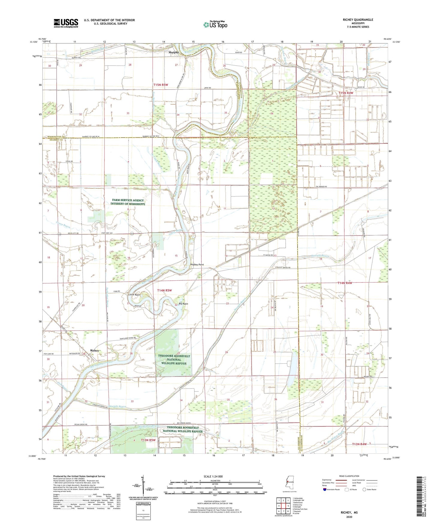
2024 topographic map quadrangle Richey in the state of Mississippi. Scale: 1:24000. Based on the newly updated USGS 7.5' US Topo map series, this map is in the following counties: Sharkey, Humphreys, Washington. The map contains contour data, water features, and other items you are used to seeing on USGS maps, but also has updated roads and other features. This is the next generation of topographic maps. Printed on high-quality waterproof paper with UV fade-resistant inks.
Quads adjacent to this one:
West: Delta City
Northwest: Hollandale
North: Midnight NW
Northeast: Bellewood
East: Midnight
Southeast: Louise
South: Bayland
Southwest: Rolling Fork East
This map covers the same area as the classic USGS quad with code o33090a6.
Contains the following named places: Alligator Lake, Auter, B G Janous Pond Dam, Big Basin, Bommers, Bommers Ferry, Buck Bayou, Caney Bayou, De Viney Bayou, Ditchlow Bayou, Fish Bayou, Free Negro Bayou, Hughey Point, Kongo, Little Basin, Locust Grove Church, Long Lake, Murphy, Murphy Bayou, Murphy Ferry, Rattler Bayou, Richey, Short Jerusalem Church, Straight Bayou, Straight Bayou Church, Turkeyfoot Bayou, Twin Lakes Bayou, Whatley Lake Dam