MyTopo
Bewelcome Mississippi US Topo Map
Couldn't load pickup availability
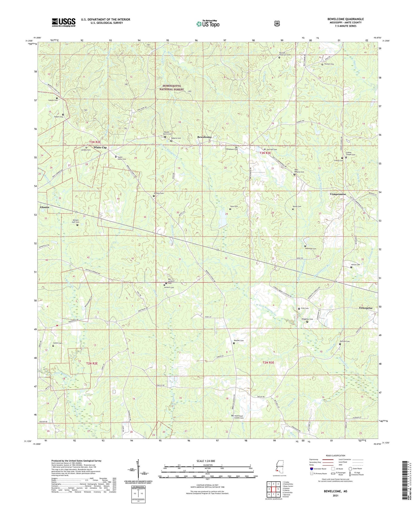
2021 topographic map quadrangle Bewelcome in the state of Mississippi. Scale: 1:24000. Based on the newly updated USGS 7.5' US Topo map series, this map is in the following counties: Amite. The map contains contour data, water features, and other items you are used to seeing on USGS maps, but also has updated roads and other features. This is the next generation of topographic maps. Printed on high-quality waterproof paper with UV fade-resistant inks.
Quads adjacent to this one:
West: Gloster
Northwest: Crosby
North: Homochitto
Northeast: Busy Corner
East: Liberty
Southeast: Street
South: Berwick
Southwest: Centreville
Contains the following named places: Antioch Cemetery, Antioch Church, Bewelcome, Big Antioch Cemetery, Bonds Cemetery, Bryant - Harris Cemetery, Buckles Creek, Cassels Cemetery, Caston Cemetery, Causey Branch, Clear Prong, Compromise, Compromise School, Damascus Church, East Fork Waggoner Creek, Enterprise, Forman Cemetery, Frith Cemetery, Georgetown School, Graves Cemetery, Graves Chapel, Graves Chapel Cemetery, Greengate Lake, Hazelwood - Causey Cemetery, Hinton Cemetery, Hoff - Roberts Cemetery, Jackson Cemetery, Jenkins Cemetery, Lamar School, Lebanon Post Office, Little Beaver Creek, Mayhall Cemetery, Meetinghouse Branch, Merwin, Merwin Creek, Norman Cemetery, Pine Hills Country Club, Plymouth Church, Purlon Branch, Richard Anderson Cemetery, Roberts Cemetery, Saint Davis Church, Sansing Lake Dam, Southwest Amite Volunteer Fire Department, Star Hill Cemetery, Star Hill Church, Sweet Home Cemetery, Sweet Home Church, Talbert Cemetery, Tatum Creek, Toberts, Tolar Cemetery, Waggoner Cemetery, West Fork Waggoner Creek, White Cap, Wilkinson Cemetery, William Huff Cemetery, Woodlawn Cemetery, Woodlawn Church, ZIP Code: 39638