MyTopo
Street Mississippi US Topo Map
Couldn't load pickup availability
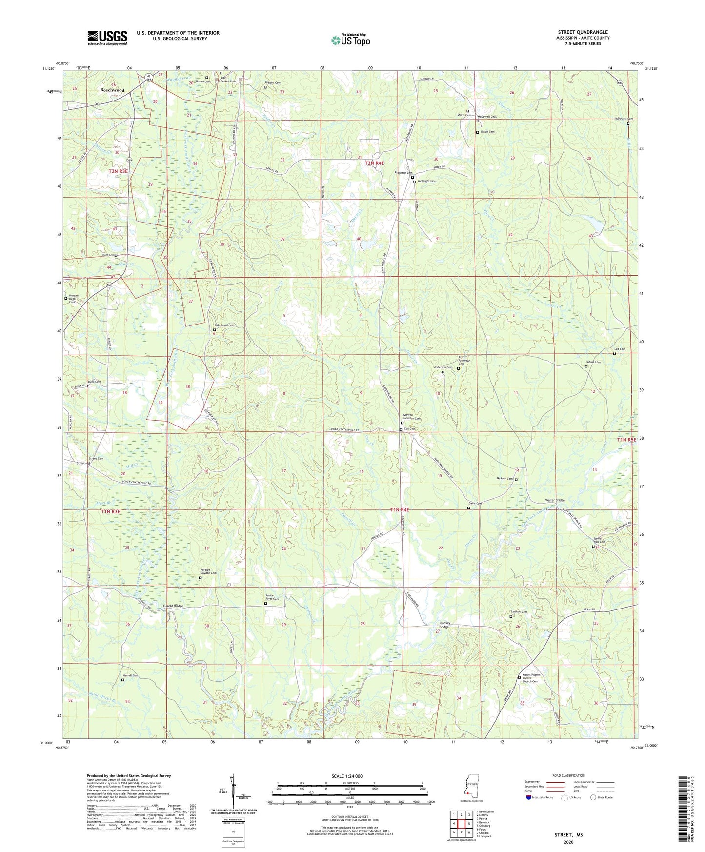
2024 topographic map quadrangle Street in the state of Mississippi. Scale: 1:24000. Based on the newly updated USGS 7.5' US Topo map series, this map is in the following counties: Amite. The map contains contour data, water features, and other items you are used to seeing on USGS maps, but also has updated roads and other features. This is the next generation of topographic maps. Printed on high-quality waterproof paper with UV fade-resistant inks.
Quads adjacent to this one:
West: Berwick
Northwest: Bewelcome
North: Liberty
Northeast: Peoria
East: Gillsburg
Southeast: Liverpool
South: Chipola
Southwest: Felps
This map covers the same area as the classic USGS quad with code o31090a7.
Contains the following named places: Agrippa Gayden Cemetery, Amite River Cemetery, Amite River Church, Amite River School, Anderson Cemetery, Beechwood, Beechwood School, Brown Cemetery, Cars Creek, Causey Creek, Church of God, Cox Cemetery, Cox Creek, Davis - Tucker Cemetery, Davis Cemetery, Davis Creek, Dixon Cemetery, Dixon School, Duck Cemetery, Duff Cemetery, Echo, F A Anderson Lake Dam, Felder Creek, Fred Anderson Cemetery, Galilee Church, Harold Bridge, Harrell Cemetery, Higgins Cemetery, Hurst, J C Stevens Lake Dam, Lambert Mill, Latimer Ford, Lea Cemetery, Liberty Oil Field, Lindsey Bridge, Lindsey Cemetery, Mart Branch, Maxwell Hamilton Cemetery, McDowell Cemetery, McKnight Cemetery, Mill Creek, Morgan - Duck Cemetery, Mount Olive Church, Mount Pilgrim Baptist Church Cemetery, Mount Pilgrim Church, Mount Vernon Church, Neilson Cemetery, Oak Grove Cemetery, Oak Grove Church, Powell Creek, Robinson Cemetery, Shaw Creek, Stewart Wall Cemetery, Street, Street Cemetery, Tobias Cemetery, Tobias School, Waggoner Creek, Wall School, Waller Bridge, Wilson Creek


