MyTopo
Canton Mississippi US Topo Map
Couldn't load pickup availability
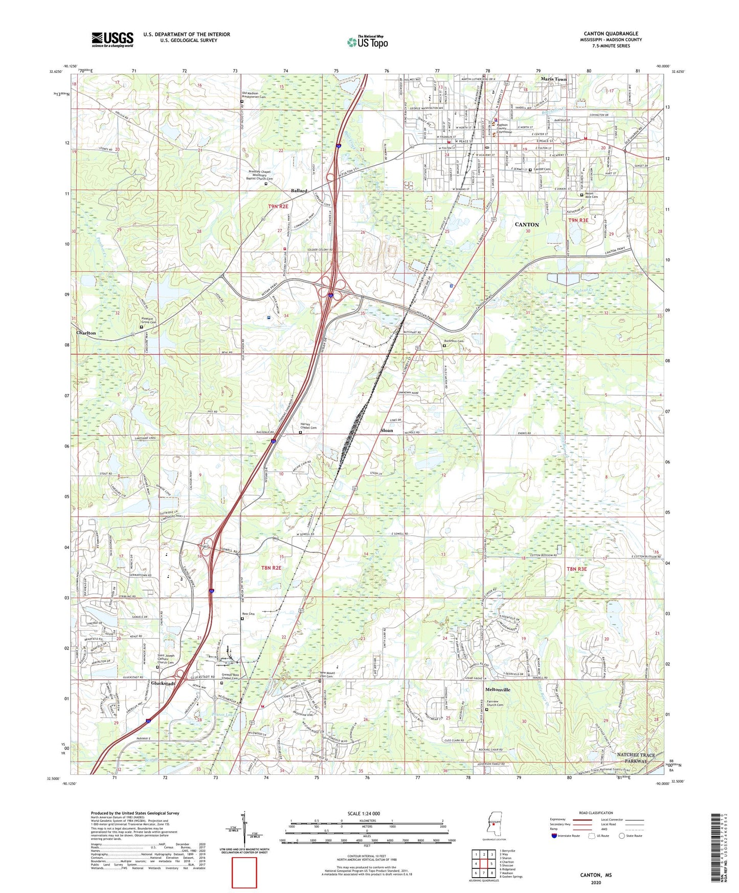
2024 topographic map quadrangle Canton in the state of Mississippi. Scale: 1:24000. Based on the newly updated USGS 7.5' US Topo map series, this map is in the following counties: Madison. The map contains contour data, water features, and other items you are used to seeing on USGS maps, but also has updated roads and other features. This is the next generation of topographic maps. Printed on high-quality waterproof paper with UV fade-resistant inks.
Quads adjacent to this one:
West: Charlton
Northwest: Berryville
North: Way
Northeast: Sharon
East: Shoccoe
Southeast: Goshen Springs
South: Madison
Southwest: Ridgeland
This map covers the same area as the classic USGS quad with code o32090e1.
Contains the following named places: Ballard, Buckhorn Cemetery, Buckhorn Church, C A Garbo Lake Dam, C M Wade Lake Dam, Canton, Canton Academy, Canton Cemetery, Canton Elementary School, Canton Fire Department Station 1, Canton Fire Department Station 2, Canton Fire Department Station 3, Canton Fire Department Station 4, Canton High School, Canton Police Department, Canton Post Office, City of Canton, Deerfield, Fairview Church, Fairview Church Cemetery, Gluckstadt, Gluckstadt Census Designated Place, Greater Ross Chapel, Greater Ross Chapel Cemetery, Harvey Chapel, Harvey Chapel Cemetery, Hermit Jones Lake Dam, Hot Water Ditch, Little Bear Creek, M E Ragsdale Pond Dam, Madison County Sheriff's Office, Madison River Oaks Medical Center, Maris Town, McNeal Elementary School, Meltonville, Mount Able Cemetery, Mount Able Church, New Mount Zion Cemetery, New Mount Zion Church, Nichols Elementary School, Old Madison Church, Old Madison Presbyterian Cemetery, Old Madison School, Patton Lake, Pleasant Grove Cemetery, Pleasant Grove Church, Priestley Chapel Missionary Baptist Church Cemetery, Ragsdale Lake, Red Bud Park, Ross Cemetery, Saint Joseph Catholic Church Cemetery, Saint Joseph Church, Sloan, South Madison County Fire Protection District Gluckstadt Volunteer Fire Department, Walnut Creek, WDGM-FM (Canton)


