MyTopo
Shoccoe Mississippi US Topo Map
Couldn't load pickup availability
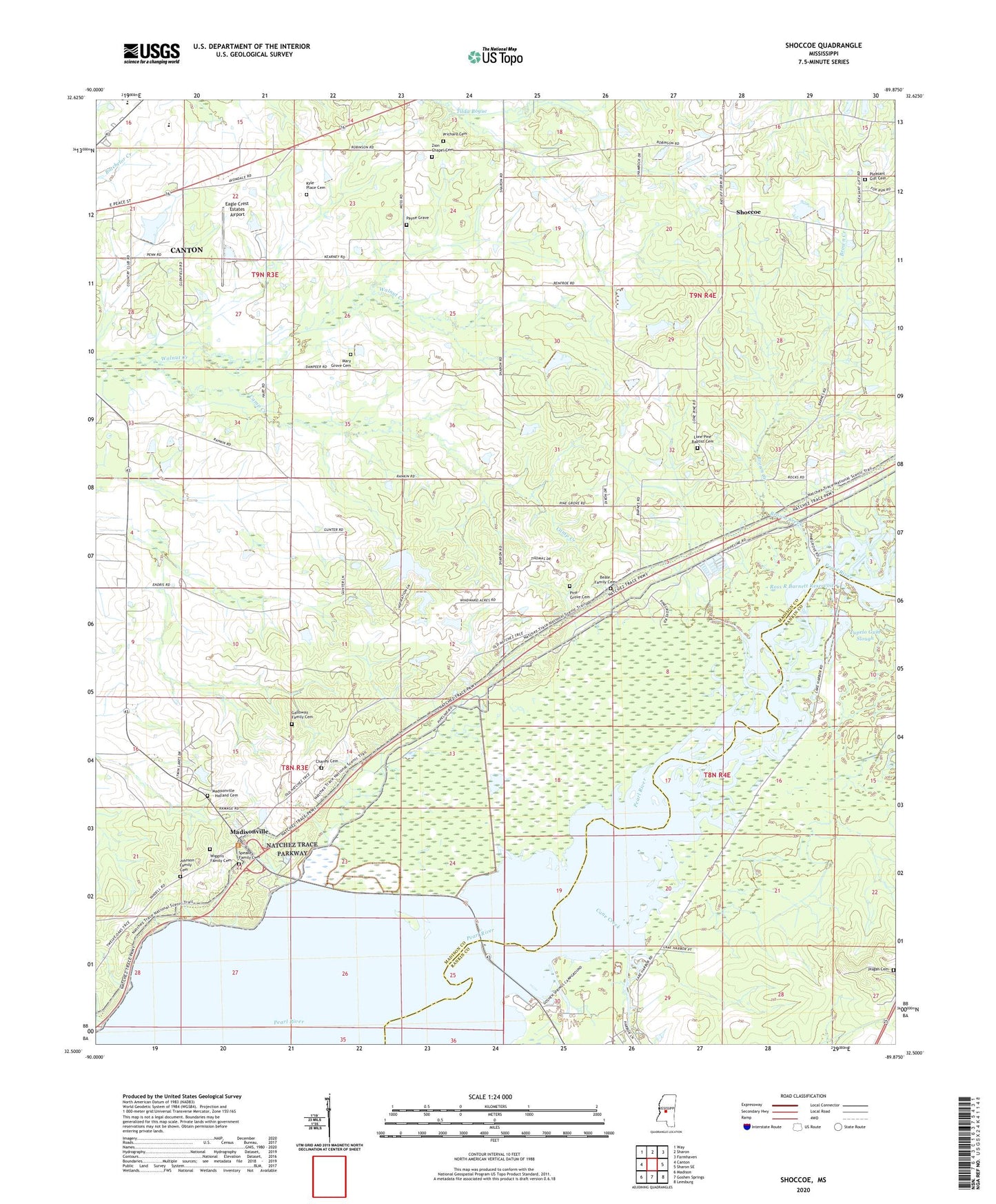
2024 topographic map quadrangle Shoccoe in the state of Mississippi. Scale: 1:24000. Based on the newly updated USGS 7.5' US Topo map series, this map is in the following counties: Madison, Rankin. The map contains contour data, water features, and other items you are used to seeing on USGS maps, but also has updated roads and other features. This is the next generation of topographic maps. Printed on high-quality waterproof paper with UV fade-resistant inks.
Quads adjacent to this one:
West: Canton
Northwest: Way
North: Sharon
Northeast: Farmhaven
East: Sharon SE
Southeast: Leesburg
South: Goshen Springs
Southwest: Madison
This map covers the same area as the classic USGS quad with code o32089e8.
Contains the following named places: B D Weeks Lake Dam, Beale Family Cemetery, Bell Lake, Big Lake, Blue Lake, Brown Creek, Calhouns Ferry, Camp Creek, Cane Creek, Canton Country Club Lake Dam, Carter Creek, Cedar Grove Church, Chaney Cemetery, Eagle Crest Estates Airport, F B Hayes Lake Dam, Finley Slough, Follin Flying Service Landing Strip, Four Mile, Francis Galloway Lake Dam, Galloway Family Cemetery, Galloway Pocket, Horseshoe Lake, Hurricane Lake, Johnson Family Cemetery, Kyle Place Cemetery, Linda Lou Lake, Lone Pine, Lone Pine Baptist Cemetery, Lone Pine Church, Long Lake, Madisonville, Madisonville - Holland Cemetery, Mary Grove Cemetery, Mary Grove Church, McDowell Pocket, Meeks Ferry, Moores Ferry, Moss Lake, Old Madisonville, Payne Grave, Pearl River State Waterfowl Refuge, Pearl River State Wildlife Management Area, Pilgrims Rest Church, Pine Grove Cemetery, Pine Grove Church, Pine Grove School, Pisgah Cemetery, Pleasant Gift Cemetery, Pleasant Gift Church, Pleasant Gift School, Prichard Cemetery, Rankins Pond, Rankins Pond Dam, Ross R Barnett Reservoir, Round Lake, Shoccoe, Speake Family Cemetery, Spring Lake, Spring Lake Slough, Tupelo Gum Slough, Walnut Creek Airport, Wards Stand, White Lake, Wiggins Family Cemetery, Zion Chapel, Zion Chapel Cemetery


