MyTopo
Crystal Springs Mississippi US Topo Map
Couldn't load pickup availability
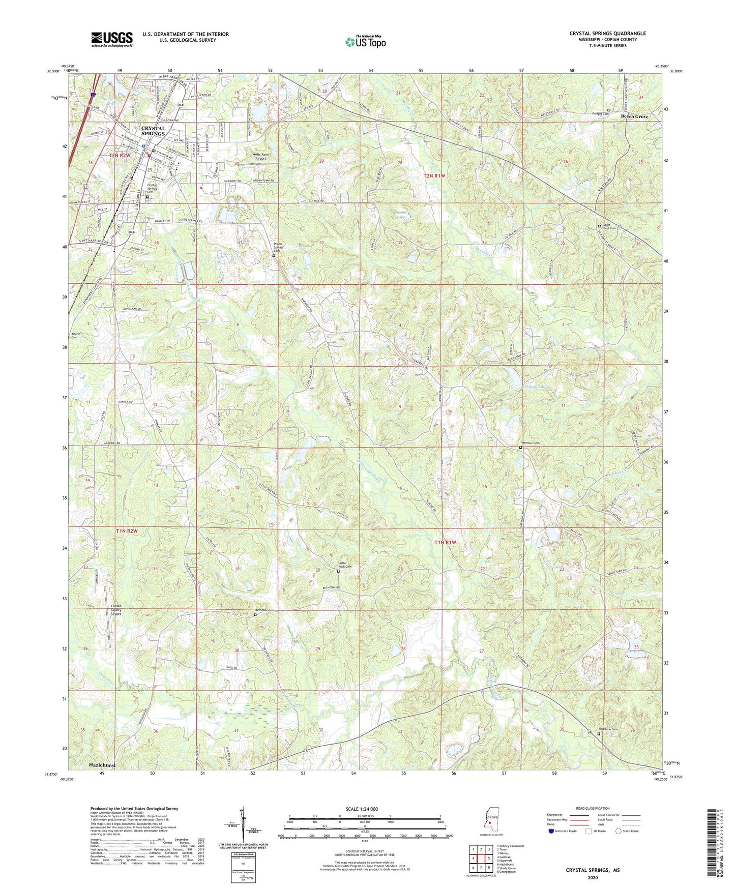
2024 topographic map quadrangle Crystal Springs in the state of Mississippi. Scale: 1:24000. Based on the newly updated USGS 7.5' US Topo map series, this map is in the following counties: Copiah. The map contains contour data, water features, and other items you are used to seeing on USGS maps, but also has updated roads and other features. This is the next generation of topographic maps. Printed on high-quality waterproof paper with UV fade-resistant inks.
Quads adjacent to this one:
West: Gallman
Northwest: Dabney Crossroads
North: Terry
Northeast: Whites
East: Hopewell
Southeast: Georgetown
South: Shady Grove
Southwest: Hazlehurst
This map covers the same area as the classic USGS quad with code o31090h3.
Contains the following named places: Beech Grove, Bethesda Cemetery, Bethesda Church, Bridges Cemetery, Calvary Church, Chautauqua Lake, Church of Christ, City of Crystal Springs, Coars Springs, Copiah County Airport, Crystal Springs, Crystal Springs Air Force Station, Crystal Springs Cemetery, Crystal Springs Fire Department, Crystal Springs High School, Crystal Springs Police Department, Crystal Springs Post Office, Crystal Springs United Methodist Church, Crystal Springs Volunteer Fire Department Station 2, First Assembly of God Church, First Baptist Church, First Presbyterian Church, Harmony Baptist Church, Harmony Cemetery, Highland Baptist Church, Holtzclaw School, James Johnson Lake Dam, Lake Chautauga Dam, Lindsey Lake, Lindsey Lake Dam, Little Copiah Creek, Little Rock Cemetery, Little Rock Church, New Zion United Methodist Church, Poplar Springs Cemetery, Red Barn Church, Red Bone Cemetery, Red Hill Church, Saint John Catholic Church, Saint Marys Church, Saint Paul Cemetery, Saint Paul Church, Shady Grove Church, Springfield Church, Supervisor District 1, Welch Plantation, Wells Farm Airport, ZIP Code: 39059


