MyTopo
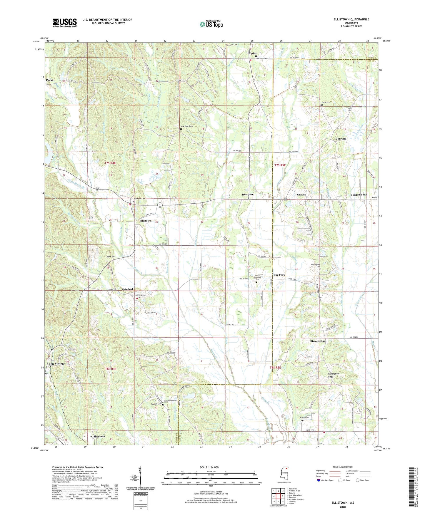
Ellistown Mississippi US Topo Map
Couldn't load pickup availability
2024 topographic map quadrangle Ellistown in the state of Mississippi. Scale: 1:24000. Based on the newly updated USGS 7.5' US Topo map series, this map is in the following counties: Union, Lee. The map contains contour data, water features, and other items you are used to seeing on USGS maps, but also has updated roads and other features. This is the next generation of topographic maps. Printed on high-quality waterproof paper with UV fade-resistant inks.
Quads adjacent to this one:
West: New Albany East
Northwest: Keownville
North: Pleasant Ridge
Northeast: Baldwyn
East: Guntown
Southeast: Tupelo
South: Sherman
Southwest: Northeast Pontotoc
This map covers the same area as the classic USGS quad with code o34088d7.
Contains the following named places: Alpine, Alpine Volunteer Fire Department, Antioch Church, Bart Hill, Beech Springs Church, Big Creek, Birmingham, Birmingham Baptist Church, Birmingham Cemetery, Birmingham Ridge, Birmingham Ridge Fire Department, Birmingham School, Blue Springs, Blue Springs Post Office, Boggan Bend, Branyan, Branyan School, Bridge Creek, Brown Creek, Camp Cemetery, Camp Creek Church, Coker Lake Dam, Corrona, Damascus Cemetery, Darling Branch, East Union School, East Union Volunteer Fire Department Station 1, East Union Volunteer Fire Department Station 2, Ellistown, Ellistown Cemetery, Fairfield, Fairfield Cemetery, Franklin Creek, Graves, Hall Creek, Jones Chapel, Jones Memorial Cemetery, Jug Fork, Liberty Church, Little Creek, Little Dry Creek, McNeil Cemetery, McNeil Chapel, McWhorter Cemetery, McWhorter Creek, Mud Creek Church, New Hope Cemetery, Parnell Creek, Phil Marsin Lake Dam, Red Hill Cemetery, Red Hill Church, Red Hill School, Rowan Lake Dam, Roy Starnes Pond Dam, Sawmill Creek, Shell Creek, Smiths Store, Spout Spring Branch, Supervisor District 4, Thompson Cemetery, Tishomingo Creek, Town Creek Structure 16 Dam, Town Creek Structure 19 Dam, Town Creek Structure 20 Dam, Town Creek Structure 22 Dam, Town Creek Structure 28 Dam, Wilkerson Pond Dam, Woods Store, ZIP Code: 38828


