MyTopo
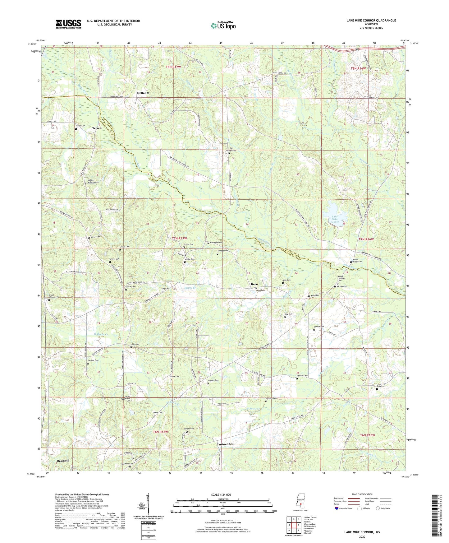
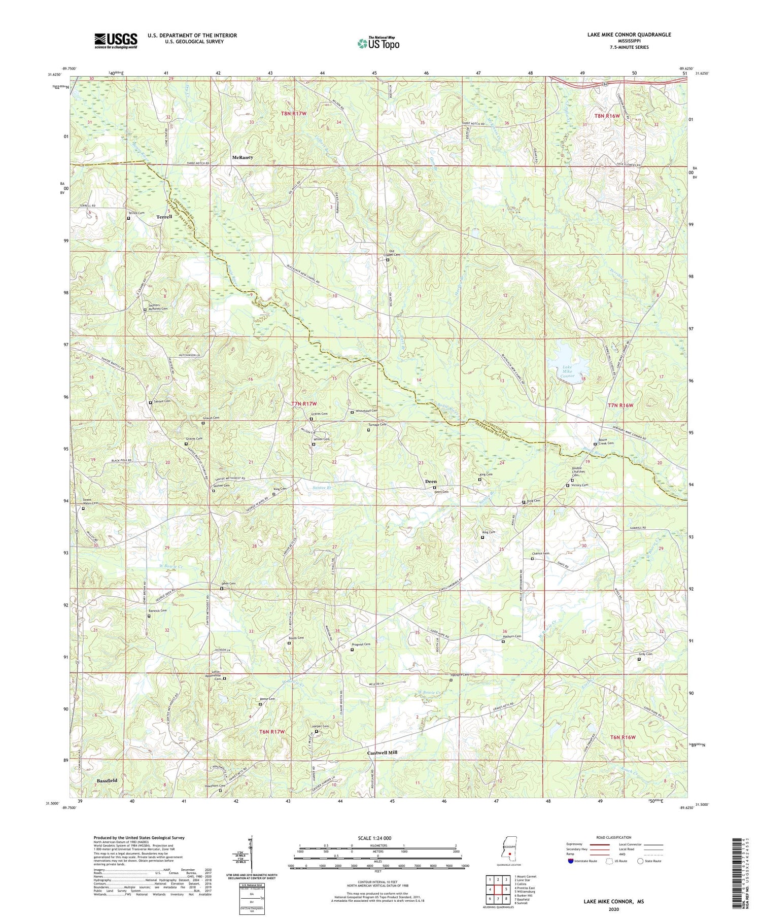
Lake Mike Connor Mississippi US Topo Map
Couldn't load pickup availability
2024 topographic map quadrangle Lake Mike Connor in the state of Mississippi. Scale: 1:24000. Based on the newly updated USGS 7.5' US Topo map series, this map is in the following counties: Jefferson Davis, Covington. The map contains contour data, water features, and other items you are used to seeing on USGS maps, but also has updated roads and other features. This is the next generation of topographic maps. Printed on high-quality waterproof paper with UV fade-resistant inks.
Quads adjacent to this one:
West: Prentiss East
Northwest: Mount Carmel
North: Lone Star
Northeast: Collins
East: Williamsburg
Southeast: Sumrall
South: Bassfield
Southwest: Bunker Hill
This map covers the same area as the classic USGS quad with code o31089e6.
Contains the following named places: Barwick Cemetery, Bassfield Church, Bethel School, Black Jack, Black Jack School, Booth Cemetery, Bowie Creek Cemetery, Cantwell Mill, Chance Cemetery, Chapel Church, Chapel School, China Mission Church, Colbert Branch, Connely Davis Lake Dam, Crossroad Church, Deen, Deen Cemetery, Deen Store, Double Churches, Double Churches Cemetery, Dry Creek, Good Hope School, Goodhope Church, Graves Cemetery, Gray Cemetery, Gum Branch, Harper Cemetery, Harper School, Hartley Branch, Hathorn Cemetery, Hawthorn Cemetery, King Cemetery, King School, Lake Mike Connor, Loflin-Applewhite Cemetery, McKinnis Creek, McRaney, Methodist-Protestant Campgrounds, Mike Connor Lake Dam, New Chapel United Pentecostal Church, Old Chapel Cemetery, Pleasant Grove Congregational Methodist Church, Price School, Progress Cemetery, Progress Missionary Baptist Church, Reese Cemetery, Santee, Santee Baptist Church, Santee Branch, Santee Cemetery, Santee Church, Santee School, Saulters-McRaney Cemetery, Strahan, Strahan Mill, Sweet Water Cemetery, Sweetwater Church, Terrell, Terrell Cemetery, Turnage Cemetery, Victory Cemetery, Victory Church, Watsons Mill Pond, Whitehead Cemetery, Willie Fortenberry Lake Dam, Wilson Cemetery


