MyTopo
Bassfield Mississippi US Topo Map
Couldn't load pickup availability
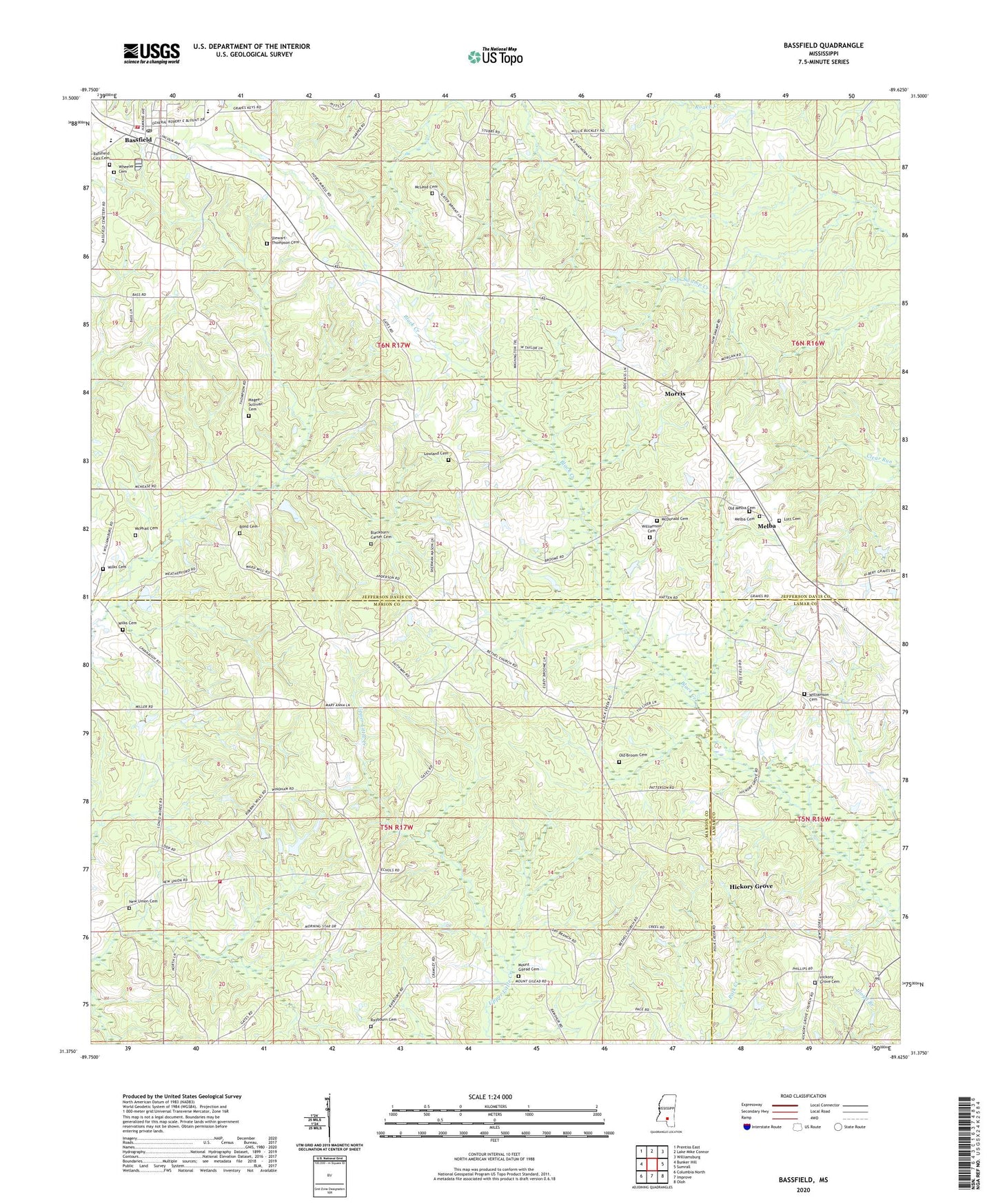
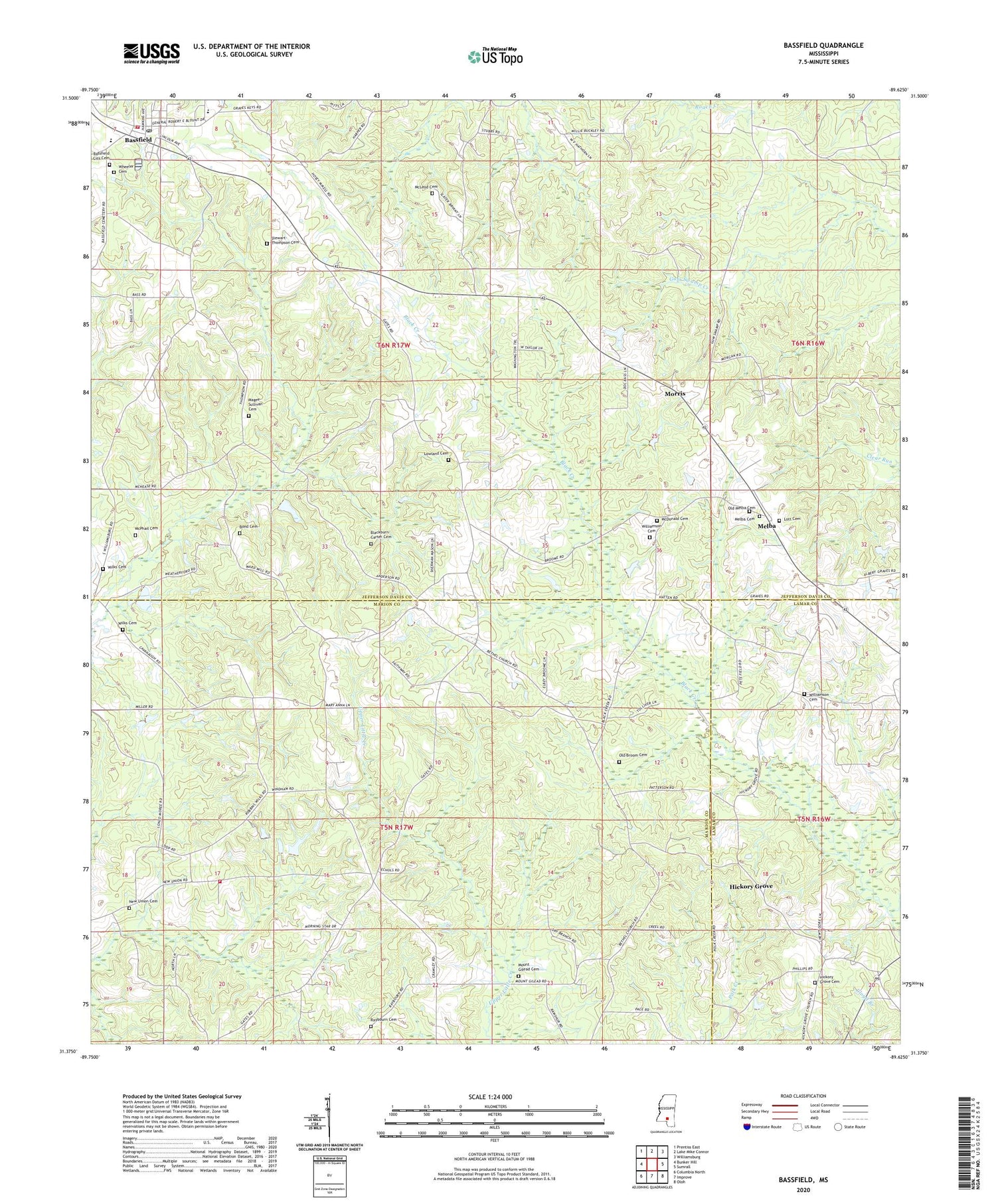
2024 topographic map quadrangle Bassfield in the state of Mississippi. Scale: 1:24000. Based on the newly updated USGS 7.5' US Topo map series, this map is in the following counties: Jefferson Davis, Marion, Lamar. The map contains contour data, water features, and other items you are used to seeing on USGS maps, but also has updated roads and other features. This is the next generation of topographic maps. Printed on high-quality waterproof paper with UV fade-resistant inks.
Quads adjacent to this one:
West: Bunker Hill
Northwest: Prentiss East
North: Lake Mike Connor
Northeast: Williamsburg
East: Sumrall
Southeast: Oloh
South: Improve
Southwest: Columbia North
This map covers the same area as the classic USGS quad with code o31089d6.
Contains the following named places: Bassfield, Bassfield Baptist Church, Bassfield City Cemetery, Bassfield Elementary School, Bassfield High School, Bassfield Post Office, Bassfield Sewage Lagoon Dam, Bassfield Volunteer Fire Department, Bethel, Bethel Baptist Church, Blackburn-Carter Cemetery, Blue Spring Church, Bond Cemetery, Faithway Landmark Church, Hickory Grove, Hickory Grove Baptist Church, Hickory Grove Cemetery, Hickory Grove Church, Hickory Grove School, Holly Springs Christian Methodist Episcopal Church, Holly Springs Methodist Church, Hubie Spights Lake Dam, L L Roberts Methodist Church, Lamar Puckett Lake Dam, Lott Cemetery, Lowland Cemetery, Lowland School, Magee-Sullivan Cemetery, McDonald Cemetery, McLeod Cemetery, McPhail Cemetery, Melba, Melba Cemetery, Melba School, Michelle Lake Dam, Morning Star Church, Morris, Mount Gilead Cemetery, Mount Gilead Church, New Hope Missionary Baptist Church, New Union, New Union Cemetery, New Union Church, Old Broom Cemetery, Old Melba Cemetery, Pine Ridge Church, Raybourn Cemetery, Saint Paul's Missionary Baptist Church, Saint Peter's Catholic Church, Stewart-Thompson Cemetery, Supervisor District 3, Town of Bassfield, Tri Community Volunteer Fire Department Station 4, Wheeler Cemetery, Wilks Cemetery, Williamson Cemetery, ZIP Code: 39421


