MyTopo
Longview Mississippi US Topo Map
Couldn't load pickup availability
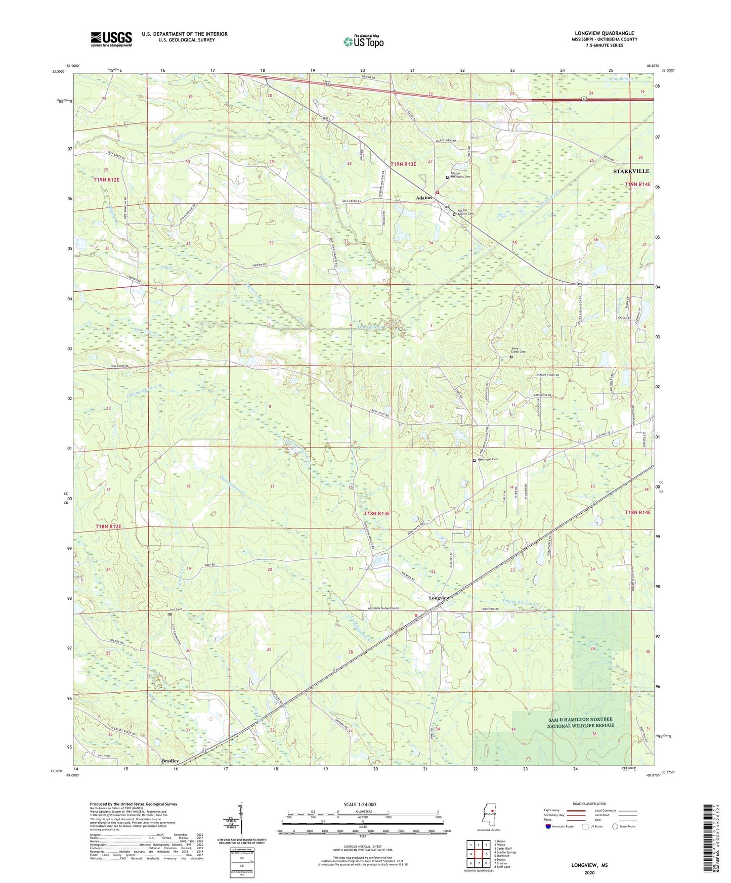
2024 topographic map quadrangle Longview in the state of Mississippi. Scale: 1:24000. Based on the newly updated USGS 7.5' US Topo map series, this map is in the following counties: Oktibbeha. The map contains contour data, water features, and other items you are used to seeing on USGS maps, but also has updated roads and other features. This is the next generation of topographic maps. Printed on high-quality waterproof paper with UV fade-resistant inks.
Quads adjacent to this one:
West: Double Springs
Northwest: Maben
North: Pheba
Northeast: Cedar Bluff
East: Starkville
Southeast: Bluff Lake
South: Bradley
Southwest: Sturgis
This map covers the same area as the classic USGS quad with code o33088d8.
Contains the following named places: Adaton, Adaton - Self Creek Volunteer Fire Department, Adaton Baptist Cemetery, Adaton Baptist Church, Adaton Methodist Cemetery, Adaton United Methodist Church, Bethel Missionary Baptist Church, Central Oktibbeha Fire Department, First Baptist Church of Longview, Green Acres, Hall Lake Dam, Jackson Branch, Josey Creek Baptist Church, Josey Creek Cemetery, Kleban Lake Dam, Lick Creek, Livingston Lake Dam, Longview, Longview Baptist Church, Longview Census Designated Place, Longview Methodist Church, Lost Cemetery, Martins Mill, Montford Lake Dam, Mullins Lake Dam, New Hope Baptist Church, New Hope Cemetery, New Light United Methodist Church, Oakwood Estates, Okonatie Watershed UT-25-1 Dam, Oktibbeha County, Oswalt Lake Dam, Pennell Lake Dam, Perkins Mill, Self Creek, Supervisor District 1, Trim Cane Canal, Union Hill Baptist Church, Valley View, Watkins Lake Dam, Westland Heights