
MyTopo
McLeod Mississippi US Topo Map
Couldn't load pickup availability
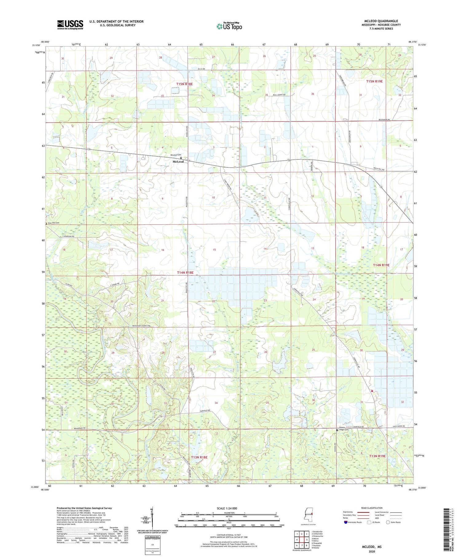
2020 topographic map quadrangle McLeod in the state of Mississippi. Scale: 1:24000. Based on the newly updated USGS 7.5' US Topo map series, this map is in the following counties: Noxubee. The map contains contour data, water features, and other items you are used to seeing on USGS maps, but also has updated roads and other features. This is the next generation of topographic maps. Printed on high-quality waterproof paper with UV fade-resistant inks.
Quads adjacent to this one:
West: Macon
Northwest: Brooksville
North: Cliftonville
Northeast: Pickensville
East: Dancy
Southeast: Panola
South: Paulette
Southwest: Shuqualak
Contains the following named places: Avery Lake Dam, Big Lake, Center Point, Center Point Church, Crosby Church, Cross Roads, Harlan, Land Lake Dam, McLeod, McLeod Cemetery, New Zion Church, Paulette Lookout Tower, Pleasant Ridge Church of Christ, Prairie Ridge Cemetery, Saint Michaels Church, Saint Peters Church, Savannah Church, Savannah Fire Department, Sellers Lake Dam, Supervisor District 2, Tibby Creek, Zion Hill Cemetery


