MyTopo
Mound Bayou Mississippi US Topo Map
Couldn't load pickup availability
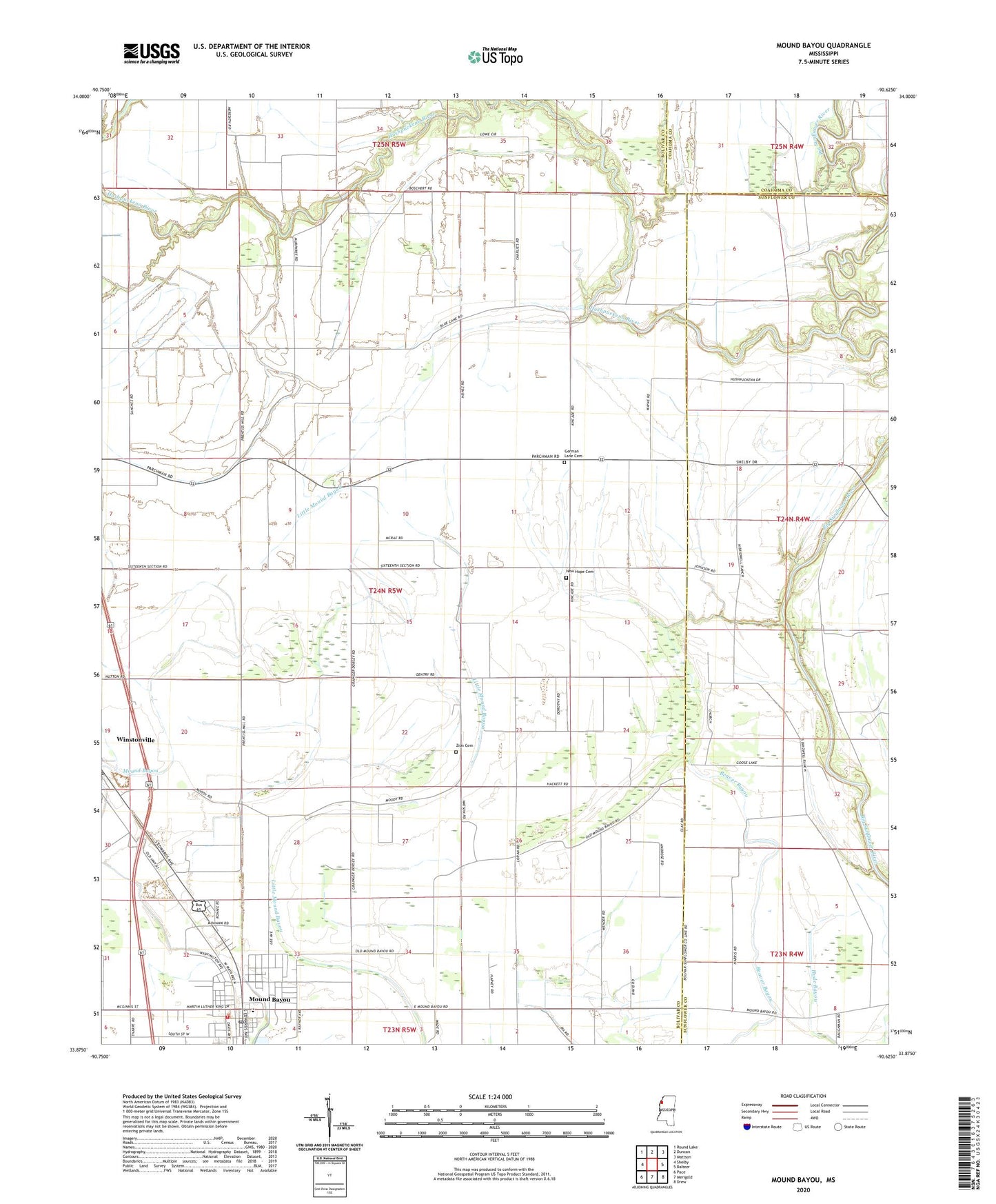
2024 topographic map quadrangle Mound Bayou in the state of Mississippi. Scale: 1:24000. Based on the newly updated USGS 7.5' US Topo map series, this map is in the following counties: Bolivar, Sunflower, Coahoma. The map contains contour data, water features, and other items you are used to seeing on USGS maps, but also has updated roads and other features. This is the next generation of topographic maps. Printed on high-quality waterproof paper with UV fade-resistant inks.
Quads adjacent to this one:
West: Shelby
Northwest: Round Lake
North: Duncan
Northeast: Mattson
East: Baltzer
Southeast: Drew
South: Merigold
Southwest: Pace
This map covers the same area as the classic USGS quad with code o33090h6.
Contains the following named places: Barrows Lake, Beautiful Star Church, Bethlehem Church, Bradford Chapel, Charles Heinz Catfish Ponds Dam, City of Mound Bayou, Dennis Chapel, Ebenezer Church, Friendship Church, German Lane Cemetery, Germania School, Goose Lake, Hushpuckena River, John F Kennedy Memorial High School, Magnolia Church, Montgomery Elementary School, Morning Star Church, Mound Bayou, Mound Bayou Post Office, Mound Bayou Sewage Lagoon Dam, Mound Bayou Volunteer Fire Department, Mount Zion Church, New Hope Cemetery, New Hope Church, New Hope School, New Kingdom Church, Pecan Bayou, Pilgrims Rest Church, Pleasant Grove Church, Saint Peters Church, Shiloh Church, Spring Hill Church, Supervisor District 3, Wander Home Church, Winstonville Post Office, Zion Cemetery, Zion Church, ZIP Code: 38762