MyTopo
Trinity Mississippi US Topo Map
Couldn't load pickup availability
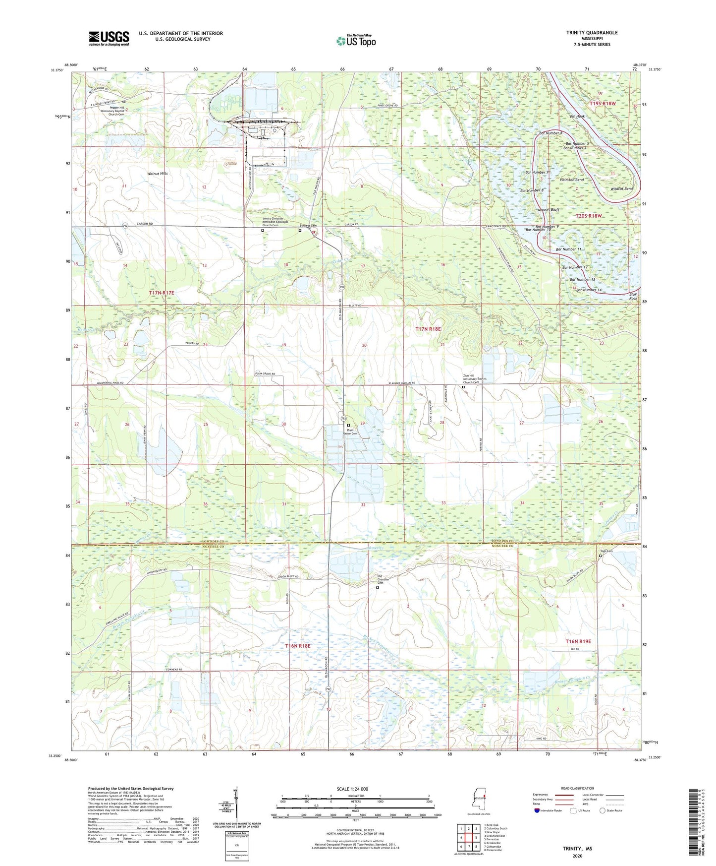
2024 topographic map quadrangle Trinity in the state of Mississippi. Scale: 1:24000. Based on the newly updated USGS 7.5' US Topo map series, this map is in the following counties: Lowndes, Noxubee. The map contains contour data, water features, and other items you are used to seeing on USGS maps, but also has updated roads and other features. This is the next generation of topographic maps. Printed on high-quality waterproof paper with UV fade-resistant inks.
Quads adjacent to this one:
West: Crawford East
Northwest: Bent Oak
North: Columbus South
Northeast: New Hope
East: Forreston
Southeast: Pickensville
South: Cliftonville
Southwest: Brooksville
This map covers the same area as the classic USGS quad with code o33088c4.
Contains the following named places: Bar Number 1, Bar Number 10, Bar Number 11, Bar Number 12, Bar Number 13, Bar Number 14, Bar Number 15, Bar Number 2, Bar Number 3, Bar Number 4, Bar Number 5, Bar Number 6, Bar Number 7, Bar Number 8, Bar Number 9, Blue Rock, Camp Pratt, Cedar Creek, First James Creek Church, Grattam, Hairston Bend, Hargrove Store, Kyle Fish Farm, Lowndes County District 4 Volunteer Fire and Rescue Department Plum Grove Station, Magowah Creek, Mississippi No Name 173 Dam, Moores Bluff, Mount Pleasant Church, Mullins Store, Oak Grove Church, Old Chandler Cemetery, Pepper Hill Church, Pin Hook, Piney Grove Church, Pleasant Ridge Church, Plum Grove, Plum Grove Elementary School, Saint John Church, Snowden Chapel, Supervisor District 4, Togo, Togo Cemetery, Trinity, Trinity Methodist Church, Walnut Hills, Wildcat Bend, Zion Hill Church