MyTopo
Vernon Mississippi US Topo Map
Couldn't load pickup availability
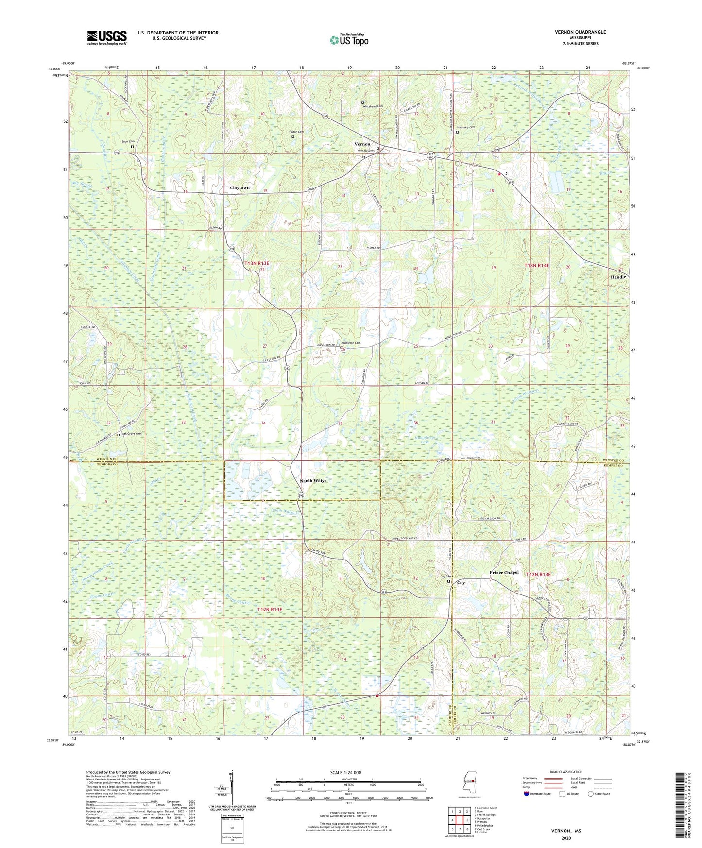
2024 topographic map quadrangle Vernon in the state of Mississippi. Scale: 1:24000. Based on the newly updated USGS 7.5' US Topo map series, this map is in the following counties: Winston, Neshoba, Kemper. The map contains contour data, water features, and other items you are used to seeing on USGS maps, but also has updated roads and other features. This is the next generation of topographic maps. Printed on high-quality waterproof paper with UV fade-resistant inks.
Quads adjacent to this one:
West: Noxapater
Northwest: Louisville South
North: Boon
Northeast: Fearns Springs
East: Preston
Southeast: Lynville
South: Owl Creek
Southwest: Philadelphia
This map covers the same area as the classic USGS quad with code o32088h8.
Contains the following named places: Big Slough, Canie Canal, Canie Creek, Claytown, Coonwood, Coopwood Canal, Coopwood Creek, Coy, Coy Cemetery, Coy Church, Dry Creek, Enon Cemetery, Enon Church, Fox Branch, Fulton Cemetery, Grim Branch School, Harmony Cemetery, Harmony Church, Humphreys Lake, Middleton Cemetery, Middleton Church, Mississippi No Name 58 Dam, Mississippi No Name 59 Dam, Nanih Waiya, Nanih Waiya School, Nanih Waiya Volunteer Fire Department, Nanih Waya State Park, North Bend Volunteer Fire Department Station 3, Oak Grove Baptist Church, Oak Grove Cemetery, Oak Grove School, Old Creek, Owl Creek, Prince Chapel, Tallahaga Creek, Vernon, Vernon Assembly of God Cemetery, Vernon Assembly of God Church, Vernon Cemetery, Vernon Methodist Church, Whitehead Cemetery, Winston Church