MyTopo
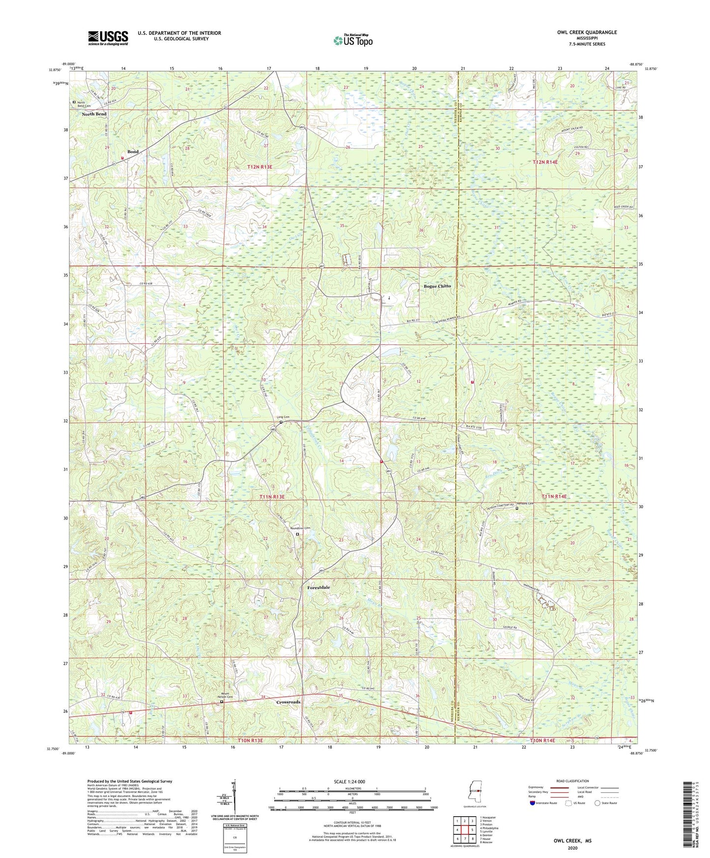
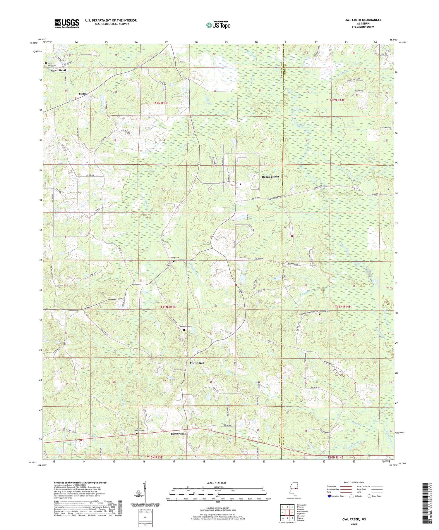
Owl Creek Mississippi US Topo Map
Couldn't load pickup availability
2024 topographic map quadrangle Owl Creek in the state of Mississippi. Scale: 1:24000. Based on the newly updated USGS 7.5' US Topo map series, this map is in the following counties: Neshoba, Kemper. The map contains contour data, water features, and other items you are used to seeing on USGS maps, but also has updated roads and other features. This is the next generation of topographic maps. Printed on high-quality waterproof paper with UV fade-resistant inks.
Quads adjacent to this one:
West: Philadelphia
Northwest: Noxapater
North: Vernon
Northeast: Preston
East: Lynville
Southeast: Moscow
South: House
Southwest: Deemer
This map covers the same area as the classic USGS quad with code o32088g8.
Contains the following named places: Bendix Creek, Bogue Chitto, Bogue Chitto Census Designated Place, Bogue Chitto Indian School, Bond, Bond Church, Brandon Hill Church, Center, Choctaw Church, Choctaw Fire Department Station 3, Coffadeliah, Coffadeliah Creek, Cooks Chapel, Cooks Store, Cow Creek, Crossroads, East Neshoba Volunteer Fire Department Station 1 Headquarters, East Neshoba Volunteer Fire Department Station 4, Forestdale, Guy Gray Lake Dam, Hensons Cemetery, Indian Reservation Lake Dam, Land Creek, Long Cemetery, Long Dale School, Macedonia Church, Mayo Branch, Mount Nelson Cemetery, Mount Nelson Church, Mount Salem Church, Mount Zion Church, New Hope, North Bend, North Bend Cemetery, North Bend Church, North Bend Volunteer Fire Department, Pat McDonald Lake Dam, Poplar Springs Church, Rea Ditch, Red Bud, Roundtree Cemetery, Sandtown Lookout Tower, Sardis Church, Sorghum Branch, Vardaman Church, W W Farms


