MyTopo
Webb Mississippi US Topo Map
Couldn't load pickup availability
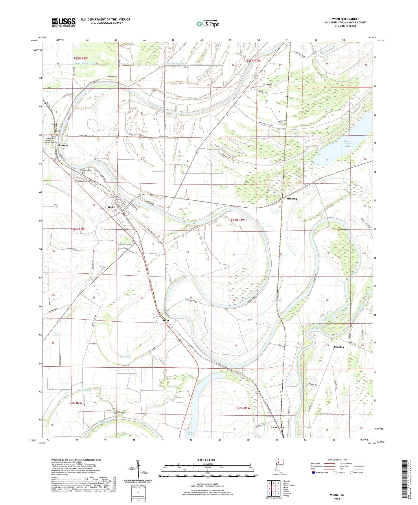
2020 topographic map quadrangle Webb in the state of Mississippi. Scale: 1:24000. Based on the newly updated USGS 7.5' US Topo map series, this map is in the following counties: Tallahatchie. The map contains contour data, water features, and other items you are used to seeing on USGS maps, but also has updated roads and other features. This is the next generation of topographic maps. Printed on high-quality waterproof paper with UV fade-resistant inks.
Quads adjacent to this one:
West: Rome
Northwest: Tutwiler
North: Vance
Northeast: Fishhook Lake
East: Tippo
Southeast: Philipp
South: Glendora
Southwest: Brooks
Contains the following named places: Albin, Arbin Landing, Black Bayou, Brooklyn Church, Buzzard Bayou Lake, Cassidy Bayou, Cassidy Bayou Landing, Cypress Brake, Friendship Temple Church, Frierson Chapel, Good Hope Church, Jenkins Cemetery, Kings Chapel, Midway, Mikoma, Mount Levy Church, Mount Moriah Church, Old Bethel Church, Petty Chapel, Pilgrim Church, Pleasant Grove Church, Rainbow Plantation, Saint James Church, Saint Marks Church, Sandy Bayou Church, Sharkey, Sharkeys Landing, Smith Chapel, Snow Brake, Snow Brake Lake, Sturdivant Church, Sumner, Sumner Church of God, Sumner Elementary School, Sumner Fire Department, Sumner Post Office, Tallahatchie County Sheriff's Office, Town of Sumner, Town of Webb, Turner, Webb, Webb Baptist Church, Webb Post Office, Webb Town Fire Department, Webb Town Police Department, West District Elementary School, West District High School, West Tallahatchie High School, Woodlawn Cemetery, ZIP Codes: 38957, 38966