MyTopo
Avalon Missouri US Topo Map
Couldn't load pickup availability
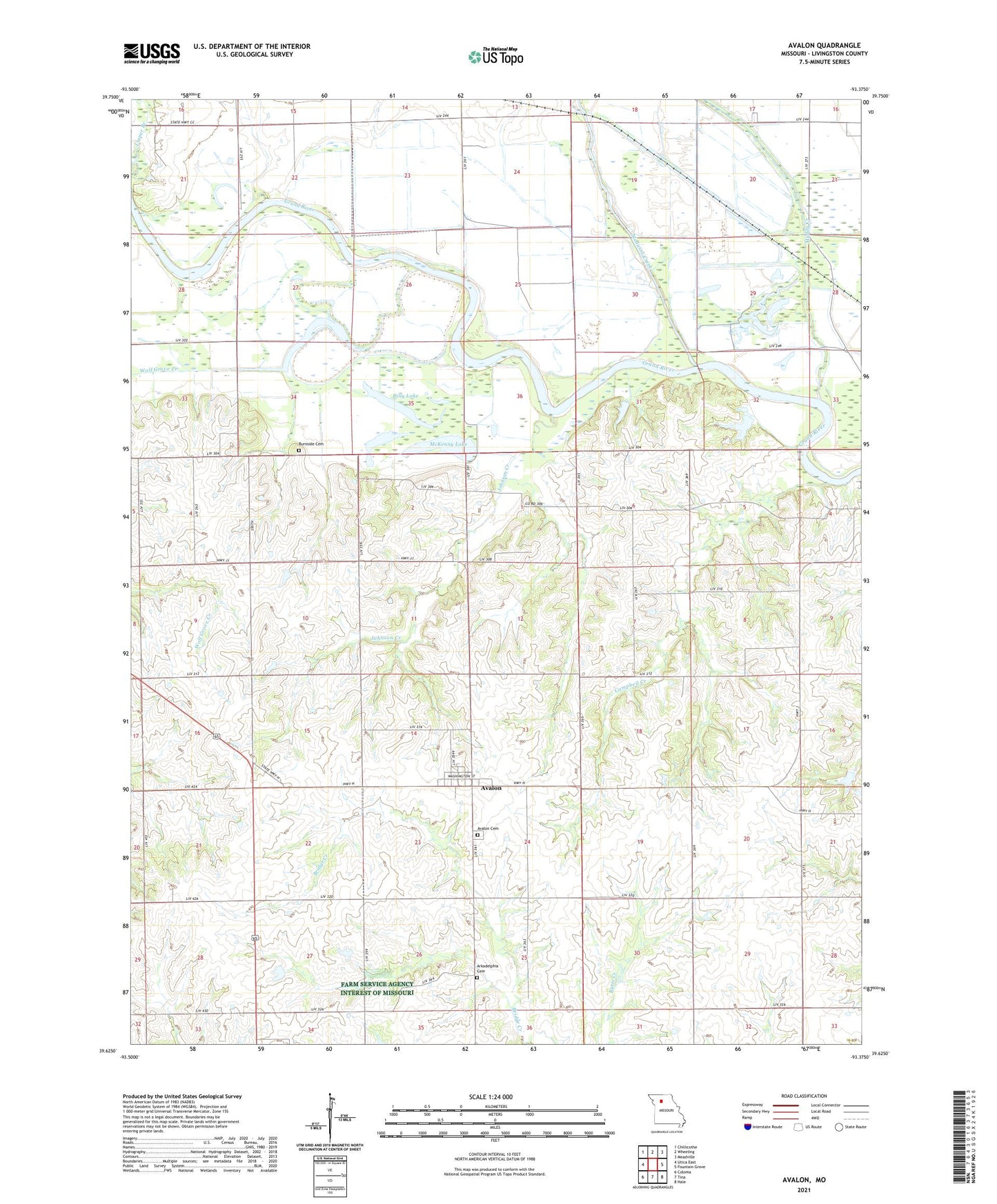
2021 topographic map quadrangle Avalon in the state of Missouri. Scale: 1:24000. Based on the newly updated USGS 7.5' US Topo map series, this map is in the following counties: Livingston. The map contains contour data, water features, and other items you are used to seeing on USGS maps, but also has updated roads and other features. This is the next generation of topographic maps. Printed on high-quality waterproof paper with UV fade-resistant inks.
Quads adjacent to this one:
West: Utica East
Northwest: Chillicothe
North: Wheeling
Northeast: Meadville
East: Fountain Grove
Southeast: Hale
South: Tina
Southwest: Coloma
Contains the following named places: Arkadelphia Cemetery, Asper School, Avalon, Avalon Cemetery, Avalon Census Designated Place, Bedford Station, Billy Lake, Burnside Cemetery, Campbell Creek, Cap School, Cavendish, Center School, Cor Campbell School, Corner Campbell School, Custer Lake, Fairland School, Fish Lake, Green School, Independence School, Johnson Creek, Lowland School, McKenny Lake, Medicine Creek, Muddy Creek, Progressive School, Shields Lake Dam, Township of Fairview