MyTopo
Bahner Missouri US Topo Map
Couldn't load pickup availability
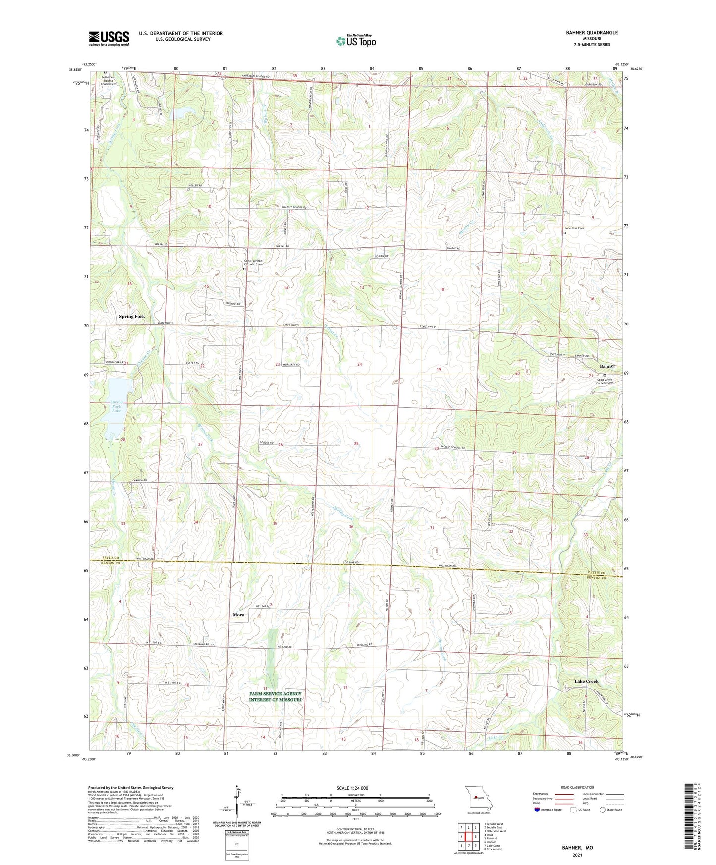
2021 topographic map quadrangle Bahner in the state of Missouri. Scale: 1:24000. Based on the newly updated USGS 7.5' US Topo map series, this map is in the following counties: Pettis, Benton. The map contains contour data, water features, and other items you are used to seeing on USGS maps, but also has updated roads and other features. This is the next generation of topographic maps. Printed on high-quality waterproof paper with UV fade-resistant inks.
Quads adjacent to this one:
West: Ionia
Northwest: Sedalia West
North: Sedalia East
Northeast: Otterville West
East: Pyrmont
Southeast: Crockerville
South: Cole Camp
Southwest: Lincoln
This map covers the same area as the classic USGS quad with code o38093e2.
Contains the following named places: Bahner, Bethlehem Baptist Church Cemetery, Cheese Creek, Daum Lake Dam, Dumpville, Lake Creek, Lake Creek School, Lone Star Cemetery, Lone Star School, Mora, Mora School, Mosby Creek, Pacific School, Prairie Grove School, Spring Fork, Spring Fork Church, Spring Fork Lake, Spring Fork Lake Dam, Township of Flat Creek, Walnut School, ZIP Code: 65345