MyTopo
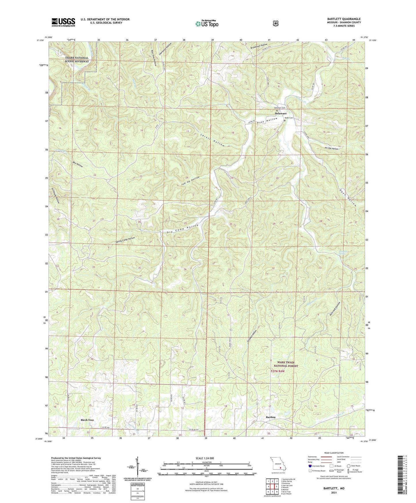
Bartlett Missouri US Topo Map
Couldn't load pickup availability
Also explore the Bartlett Forest Service Topo of this same quad for updated USFS data
2021 topographic map quadrangle Bartlett in the state of Missouri. Scale: 1:24000. Based on the newly updated USGS 7.5' US Topo map series, this map is in the following counties: Shannon. The map contains contour data, water features, and other items you are used to seeing on USGS maps, but also has updated roads and other features. This is the next generation of topographic maps. Printed on high-quality waterproof paper with UV fade-resistant inks.
Quads adjacent to this one:
West: Jam Up Cave
Northwest: Summersville NE
North: Alley Spring
Northeast: Eminence
East: Winona
Southeast: Low Wassie
South: Birch Tree
Southwest: Montier
This map covers the same area as the classic USGS quad with code o37091a4.
Contains the following named places: Bartlett, Big Branch, Buckhart Spring, Buckhart Springs, Crescent School, Delaware, Delaware Cemetery, Dry Camp Hollow, Gateway, Gateway Camp and Picnic Area, Island Branch, Jam Up Hollow, Larkin Hollow, Manger of Bethlehem Church, Open Hollow, Pertz, Pin Oak Hollow, Pine Hollow, Pine Hollow School, Rader Cemetery, Railroad Hollow, Spring Camp Hollow, Township of Delaware, Turnback Hollow, Woodland School