MyTopo
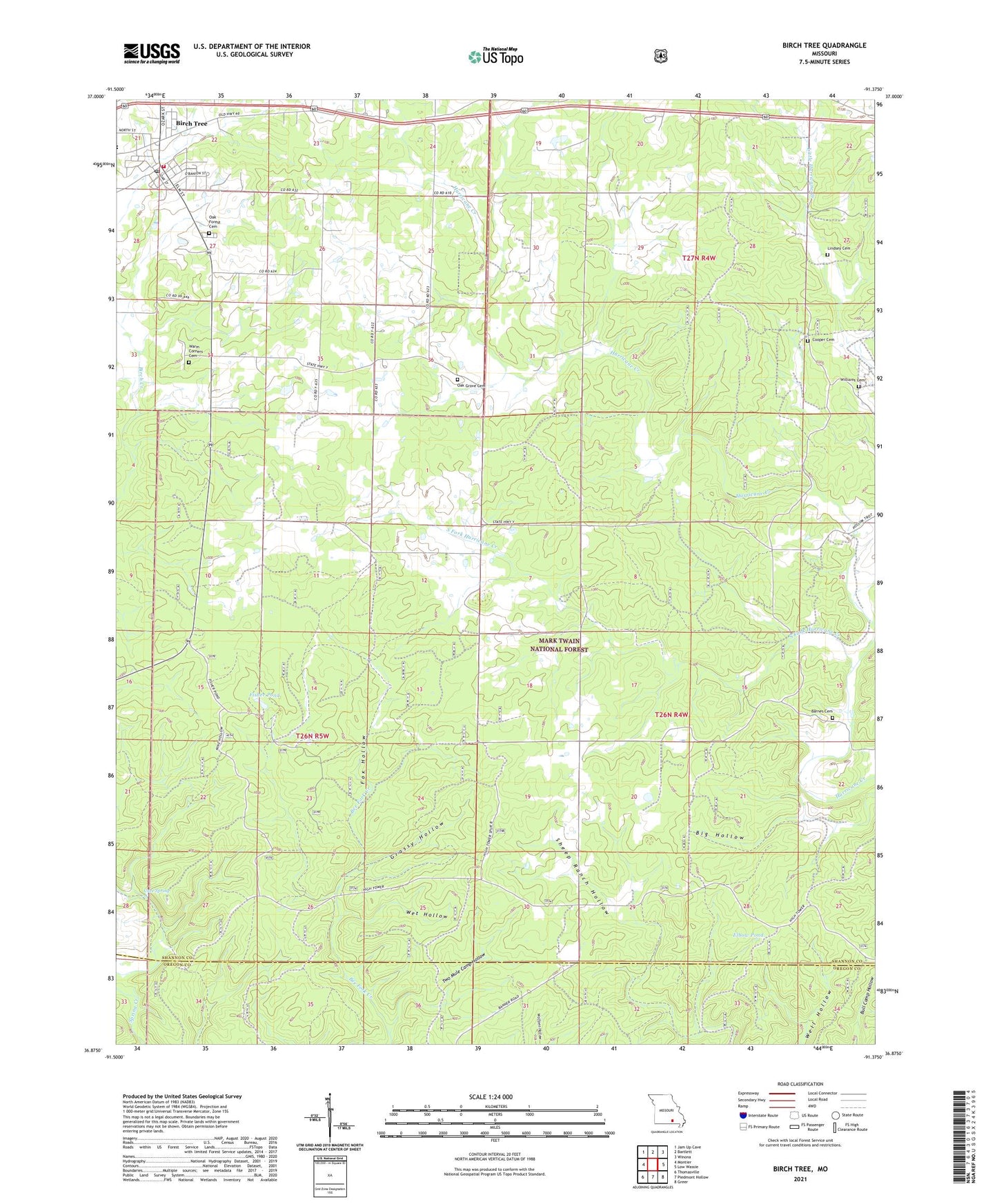
Birch Tree Missouri US Topo Map
Couldn't load pickup availability
Also explore the Birch Tree Forest Service Topo of this same quad for updated USFS data
2021 topographic map quadrangle Birch Tree in the state of Missouri. Scale: 1:24000. Based on the newly updated USGS 7.5' US Topo map series, this map is in the following counties: Shannon, Oregon. The map contains contour data, water features, and other items you are used to seeing on USGS maps, but also has updated roads and other features. This is the next generation of topographic maps. Printed on high-quality waterproof paper with UV fade-resistant inks.
Quads adjacent to this one:
West: Montier
Northwest: Jam Up Cave
North: Bartlett
Northeast: Winona
East: Low Wassie
Southeast: Greer
South: Piedmont Hollow
Southwest: Thomasville
This map covers the same area as the classic USGS quad with code o36091h4.
Contains the following named places: Banner School, Barnes Cemetery, Big Hollow, Birch Tree, Birch Tree Volunteer Fire Department, Cave Spring, City of Birch Tree, Elbow Pond, Fair Grove School, Fisher Pond, Fox Hollow, Gateway Recreation Area, Grassy Hollow, High Lookout, Little Hurricane Creek, Oak Forest Cemetery, Oak Grove School, Old Kehres Pond, Pleasant Hill School, South Fork Hurricane Creek, Township of Bartlett, Township of Birch Tree, Two Mule Camp Hollow, Warm Corners Cemetery, Wet Hollow