MyTopo
Bertrand Missouri US Topo Map
Couldn't load pickup availability
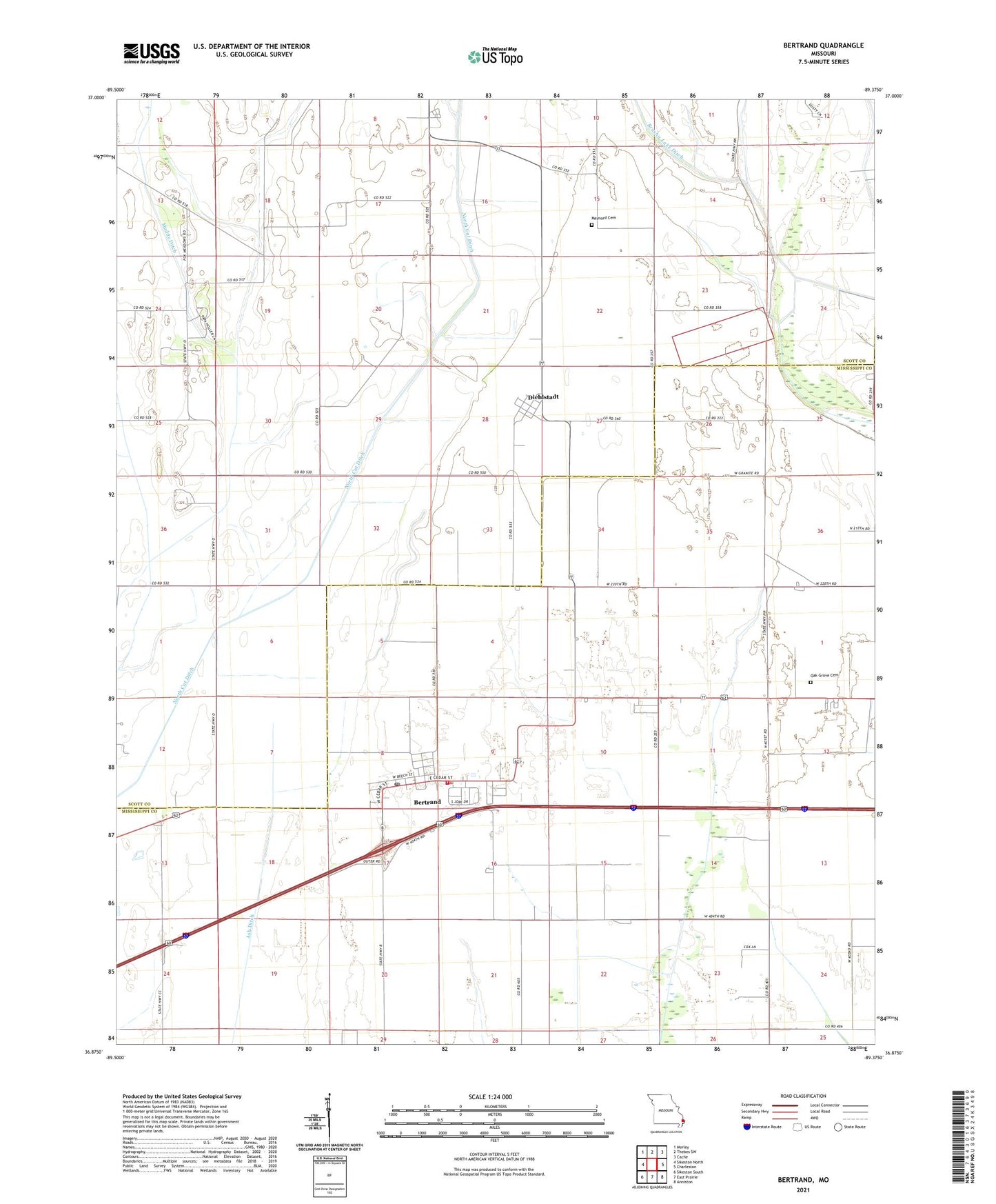
2021 topographic map quadrangle Bertrand in the state of Missouri. Scale: 1:24000. Based on the newly updated USGS 7.5' US Topo map series, this map is in the following counties: Mississippi, Scott. The map contains contour data, water features, and other items you are used to seeing on USGS maps, but also has updated roads and other features. This is the next generation of topographic maps. Printed on high-quality waterproof paper with UV fade-resistant inks.
Quads adjacent to this one:
West: Sikeston North
Northwest: Morley
North: Thebes SW
Northeast: Cache
East: Charleston
Southeast: Anniston
South: East Prairie
Southwest: Sikeston South
This map covers the same area as the classic USGS quad with code o36089h4.
Contains the following named places: Austin Switch, Bement School, Bertrand, Bertrand Fire Department, Bertrand Post Office, Buckeye, City of Bertrand, Diehlstadt, Diehlstadt School, Lemons School, Maynard Cemetery, Muddy Ditch, Never Spur, North Cut Ditch, Oak Grove Cemetery, Porter, Russell School, Sand Pit Spur, Township of Long Prairie, Village of Diehlstadt, ZIP Code: 63823