MyTopo
Thebes SW Missouri US Topo Map
Couldn't load pickup availability
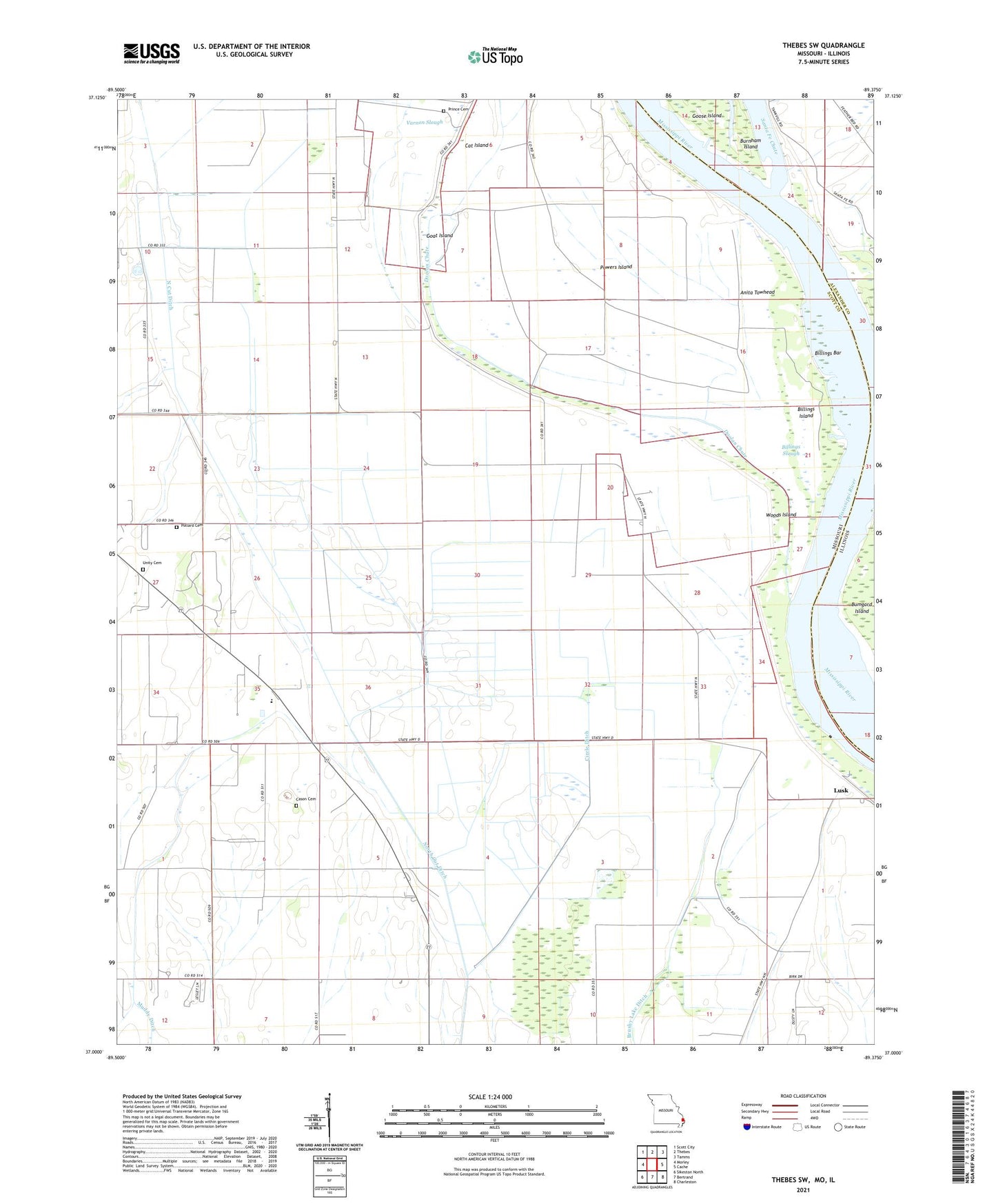
2021 topographic map quadrangle Thebes SW in the states of Missouri, Illinois. Scale: 1:24000. Based on the newly updated USGS 7.5' US Topo map series, this map is in the following counties: Scott, Alexander. The map contains contour data, water features, and other items you are used to seeing on USGS maps, but also has updated roads and other features. This is the next generation of topographic maps. Printed on high-quality waterproof paper with UV fade-resistant inks.
Quads adjacent to this one:
West: Morley
Northwest: Scott City
North: Thebes
Northeast: Tamms
East: Cache
Southeast: Charleston
South: Bertrand
Southwest: Sikeston North
This map covers the same area as the classic USGS quad with code o37089a4.
Contains the following named places: Anita Towhead, Billings Bar, Billings Island, Billings Slough, Brushy Lake Ditch, Campbell School, Cason Cemetery, Circle Ditch, Doolan Chute, Goat Island, Jacket Pattern Chute, Jones Spur, Lemon School, Lusk, Lusk Chapel, Lusk School, Moore Landing, Owensby School, Pollard Cemetery, Powers Island, Powers Island School, Price Landing, Prince Cemetery, Santa Fe Chute, Savannah Church, Thomas W Kelly School, Township of Commerce, Township of Tywappity, Unity Cemetery, Unity Church, Varnon Slough, Woods Island