MyTopo
Branch Missouri US Topo Map
Couldn't load pickup availability
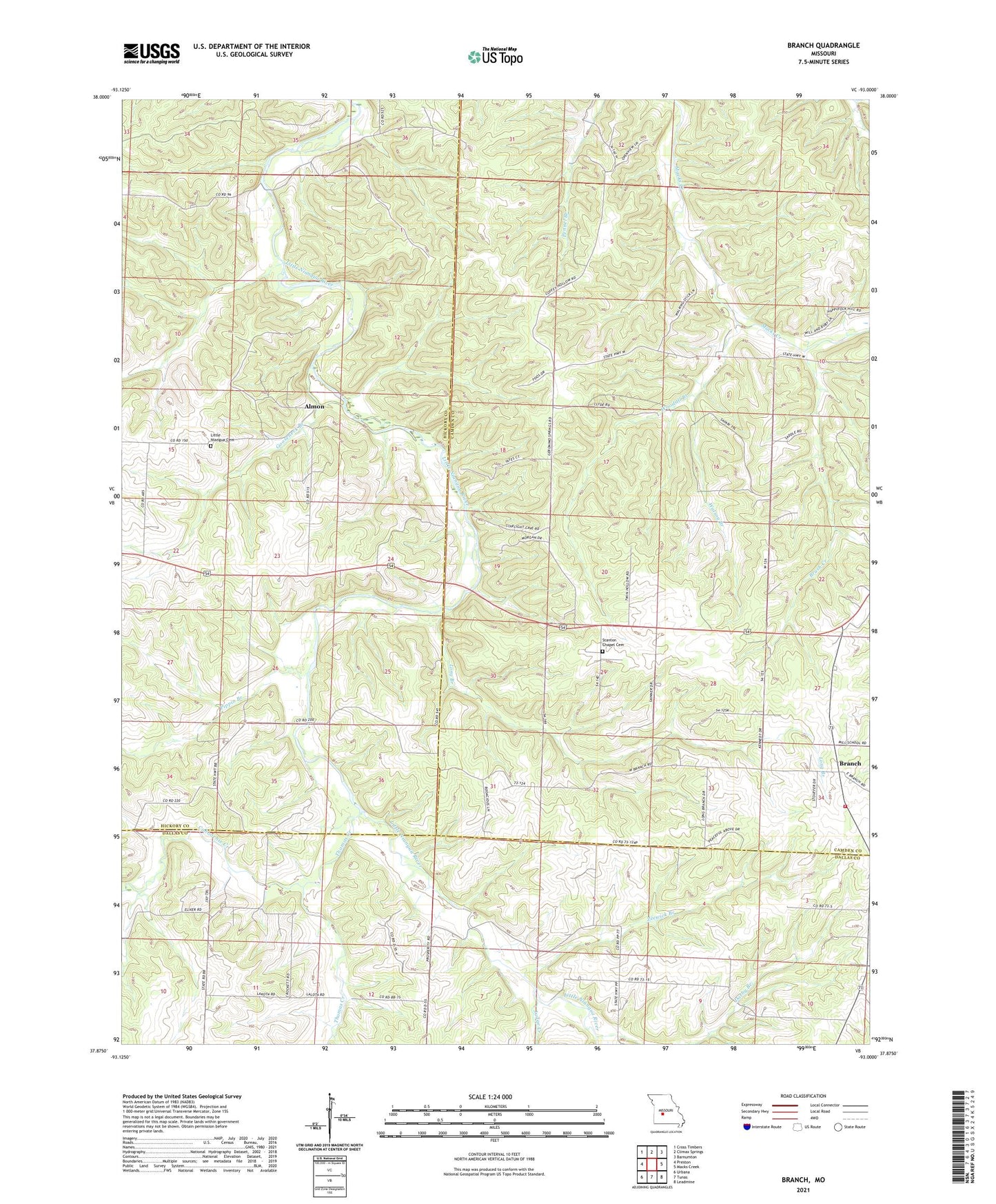
2021 topographic map quadrangle Branch in the state of Missouri. Scale: 1:24000. Based on the newly updated USGS 7.5' US Topo map series, this map is in the following counties: Camden, Hickory, Dallas. The map contains contour data, water features, and other items you are used to seeing on USGS maps, but also has updated roads and other features. This is the next generation of topographic maps. Printed on high-quality waterproof paper with UV fade-resistant inks.
Quads adjacent to this one:
West: Preston
Northwest: Cross Timbers
North: Climax Springs
Northeast: Barnumton
East: Macks Creek
Southeast: Leadmine
South: Tunas
Southwest: Urbana
This map covers the same area as the classic USGS quad with code o37093h1.
Contains the following named places: Almon, Assembly of God Church, Branch, Branch Lookout Tower, Brush Creek, Cahoochie Creek, Carpenter Lake Dam, Darby Branch, Elixer, Elixer Church, Elixer School, Goose Neck Post Office, Gooseneck Branch, Hickory Grove Church, Hickory Grove School, Huffmans Creek, Judge Creek, Little Niangua Baptist Church, Little Niangua Cemetery, Long Branch, Long Branch School, Mabarry School, Parks Mill, Pippin Branch, Southwest Camden County Fire Protection District Station 2, Stanton Chapel Cemetery, Thomas Creek, Tisco School, Watson Branch, Woodall Branch, Zeewick Branch