MyTopo
Leadmine Missouri US Topo Map
Couldn't load pickup availability
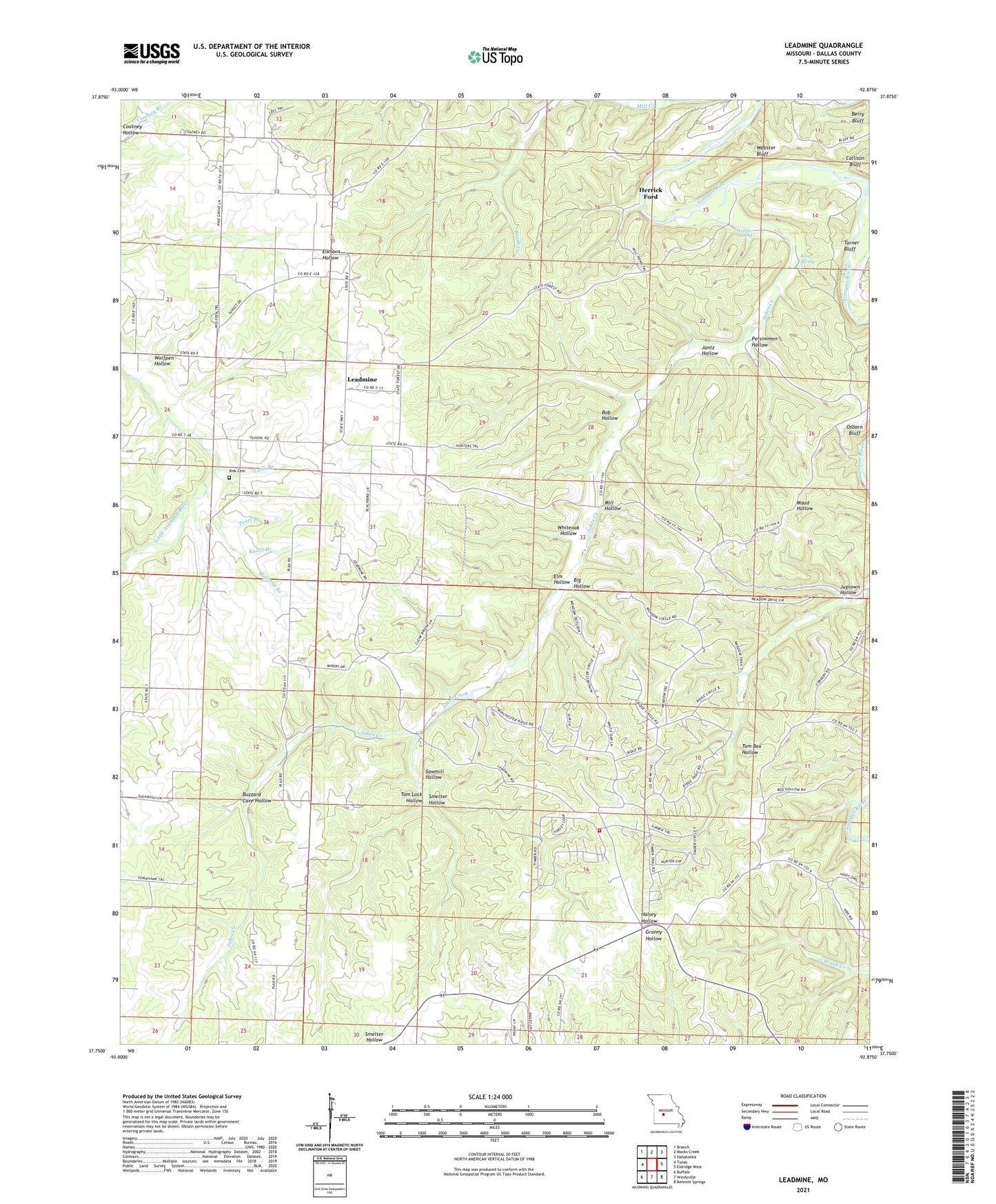
2021 topographic map quadrangle Leadmine in the state of Missouri. Scale: 1:24000. Based on the newly updated USGS 7.5' US Topo map series, this map is in the following counties: Dallas. The map contains contour data, water features, and other items you are used to seeing on USGS maps, but also has updated roads and other features. This is the next generation of topographic maps. Printed on high-quality waterproof paper with UV fade-resistant inks.
Quads adjacent to this one:
West: Tunas
Northwest: Branch
North: Macks Creek
Northeast: Hahatonka
East: Eldridge West
Southeast: Bennett Springs
South: Windyville
Southwest: Buffalo
This map covers the same area as the classic USGS quad with code o37092g8.
Contains the following named places: Bailey Chapel, Barkley School, Berry Ford, Big Hollow, Bob Hollow, Buzzard Cave Hollow, Elm Hollow, Excell School, Herrick Ford, Hickory Hill School, Jakes Creek, Jantz Hollow, Jugtown Hollow, Katell Branch, King Spring, Kirk Chapel, Kirk Chapel Cemetery, Lane Branch, Lead Mine State Forest, Leadmine, Leadmine School, Louisburg Volunteer Fire Department Station 2, Mill Hollow, Mustang Branch, Osborn Bluff, Pearl Branch, Persimmon Hollow, Pleasant Hill Church, Rambo Mine, Sawmill Hollow, Smelter Hollow, Tom Lock Hollow, Township of Miller, Turner Bluff, Union Victory School, Webster Bluff, Webster Spring, Westfield, Whiteoak Hollow, Wolfpen Hollow, ZIP Code: 65764