MyTopo
Cassville Missouri US Topo Map
Couldn't load pickup availability
Also explore the Cassville Forest Service Topo of this same quad for updated USFS data
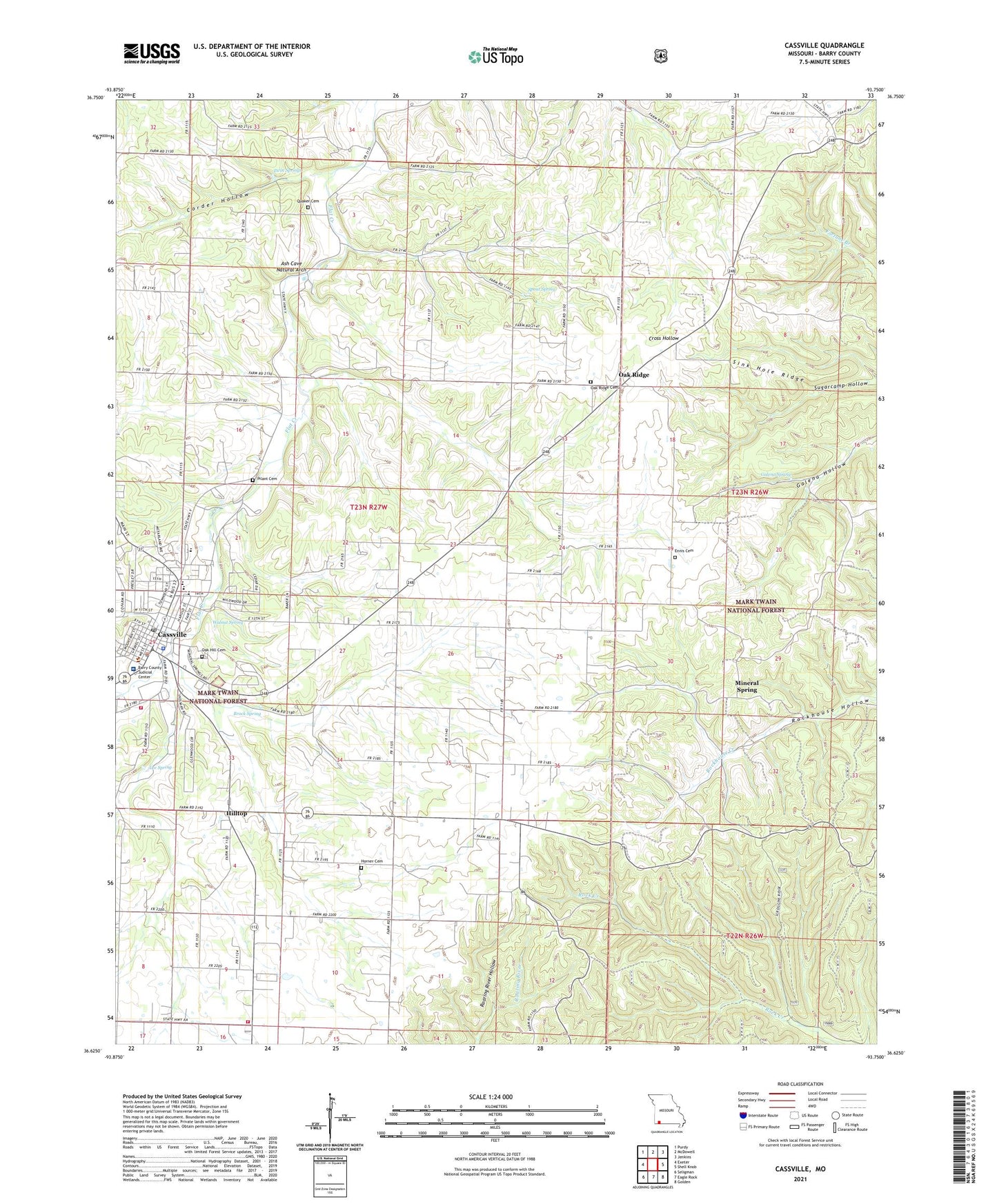
2021 topographic map quadrangle Cassville in the state of Missouri. Scale: 1:24000. Based on the newly updated USGS 7.5' US Topo map series, this map is in the following counties: Barry. The map contains contour data, water features, and other items you are used to seeing on USGS maps, but also has updated roads and other features. This is the next generation of topographic maps. Printed on high-quality waterproof paper with UV fade-resistant inks.
Quads adjacent to this one:
West: Exeter
Northwest: Purdy
North: McDowell
Northeast: Jenkins
East: Shell Knob
Southeast: Golden
South: Eagle Rock
Southwest: Seligman
This map covers the same area as the classic USGS quad with code o36093f7.
Contains the following named places: Ash Cave Natural Arch, Barry County, Barry County Sheriff's Office, Bates Corner, Black School, Brock Spring, Cassville, Cassville Fire Protection District Station 1, Cassville Fire Protection District Station 2, Cassville Golf Club, Cassville High School, Cassville Intermediate School, Cassville Middle School, Cassville Police Department, Cassville Post Office, Cassville School, City of Cassville, Corder Hollow, Cross Hollow School, Dale, Ennis Cemetery, Eunice Thomas Elementary School, Forest Grove School, Galena Spring, Hilltop, Horner Cemetery, Horner School, Jenkins Rural Fire Department Substation, Lee Spring, Mark Twain National Forest Ava - Cassville - Willow Springs Ranger District Cassville Office, Mercy Hospital Cassville, Merles Chapel, Mineral Spring, Mineral Spring Church, Mineral Springs School, Missouri Department of Conservation Forestry Southwest Regional Field Fire Office Cassville, Mount Olive Church, Mount Sinai School, Oak Grove School, Oak Hill Cemetery, Oak Ridge, Oak Ridge Cemetery, Oak Ridge Church, Oak Ridge School, Pilant Cemetery, Quaker Cemetery, Quaker School, Sink Hole Ridge, Smalleys Corner, Spout Spring, Thompsons Corner, Timber Line Airpark, Township of Flat Creek, Travers, Traverse Post Office, Twin Springs, Union Chapel, Walnut Spring, ZIP Code: 65625


