MyTopo
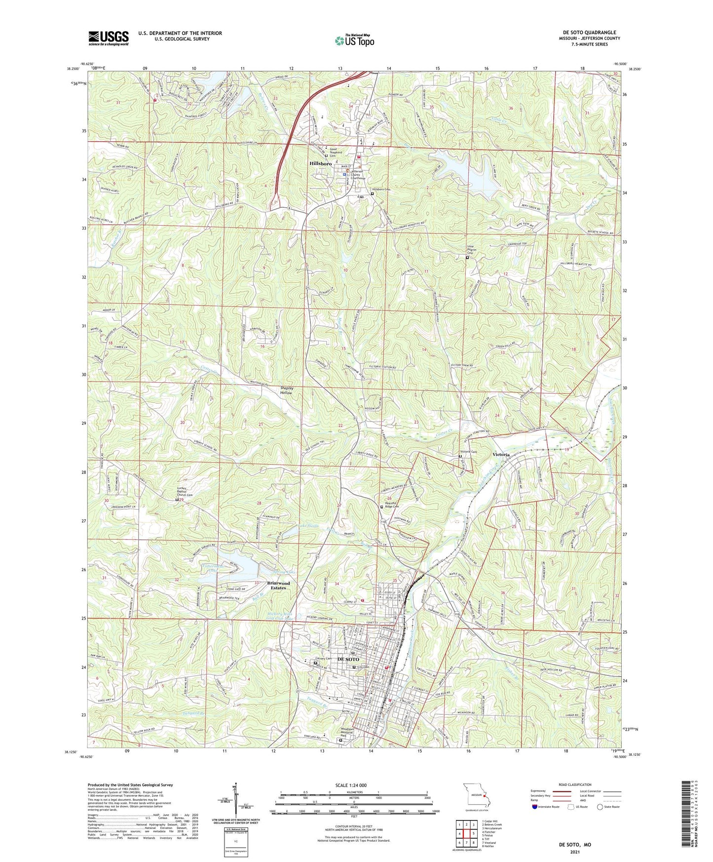
De Soto Missouri US Topo Map
Couldn't load pickup availability
2021 topographic map quadrangle De Soto in the state of Missouri. Scale: 1:24000. Based on the newly updated USGS 7.5' US Topo map series, this map is in the following counties: Jefferson. The map contains contour data, water features, and other items you are used to seeing on USGS maps, but also has updated roads and other features. This is the next generation of topographic maps. Printed on high-quality waterproof paper with UV fade-resistant inks.
Quads adjacent to this one:
West: Fletcher
Northwest: Cedar Hill
North: Belews Creek
Northeast: Herculaneum
East: Festus
Southeast: Halifax
South: Vineland
Southwest: Tiff
Contains the following named places: Assembly of God Church, Ball Branch, Big Carp Lake, Briarwood Estates, Briarwood Estates Census Designated Place, Burrow Lake Dam, Calvary Cemetery, Church of the Good Shepard, City of De Soto, City of De Soto Fire and Rescue Station 2, City Of De Soto Fire Department, City of Hillsboro, Cotter Creek, De Soto, De Soto High School, De Soto Police Department, De Soto Post Office, De Soto Rural Fire Protection District Station 1 Headquarters, DeSoto Community Church of God, DeSoto Wastewater Treatment Plant, Fisher Branch, Fishermans Lake, Fishermans Lake Dam, Fritz Creek, Good Shepherd Cemetery, Haverstick Creek, Haverstick School, Hickory Hills Golf Club Dam, Hickory Hills Golf Club Lake, Highfield School, Hillsboro, Hillsboro Cemetery, Hillsboro Fire Protection District, Hillsboro Fire Protection District Station 2, Hillsboro Post Office, Jefferson County Sheriff's Office, Joachim Park, KHAD-AM (Desoto), KSTZ-FM (St Genevieve), Lake Briarwood, Lake Briarwood Dam, Lake Siesta, Lake Wauwanoka, Lake Wauwanoka Dam, Lone Pilgrim Church, Luckey Church, Lucky School, Mount Saint Clements College, Murril Branch, New Liberty School, Oak Ridge Church, Peace Tabernacle Church, Pentecostal Church, Peter Moore School, Redeemer Church, Ritcher Park, Seemel School, Shepley Hollow, Siesta Lake Dam, Spring Lake, Spring Lake Dam, Spross Park, Tanyard Branch, Township of Central, Victoria, Victoria Cemetery, Vineland School, Woodlawn Memorial Park


