MyTopo
Downing NW Missouri US Topo Map
Couldn't load pickup availability
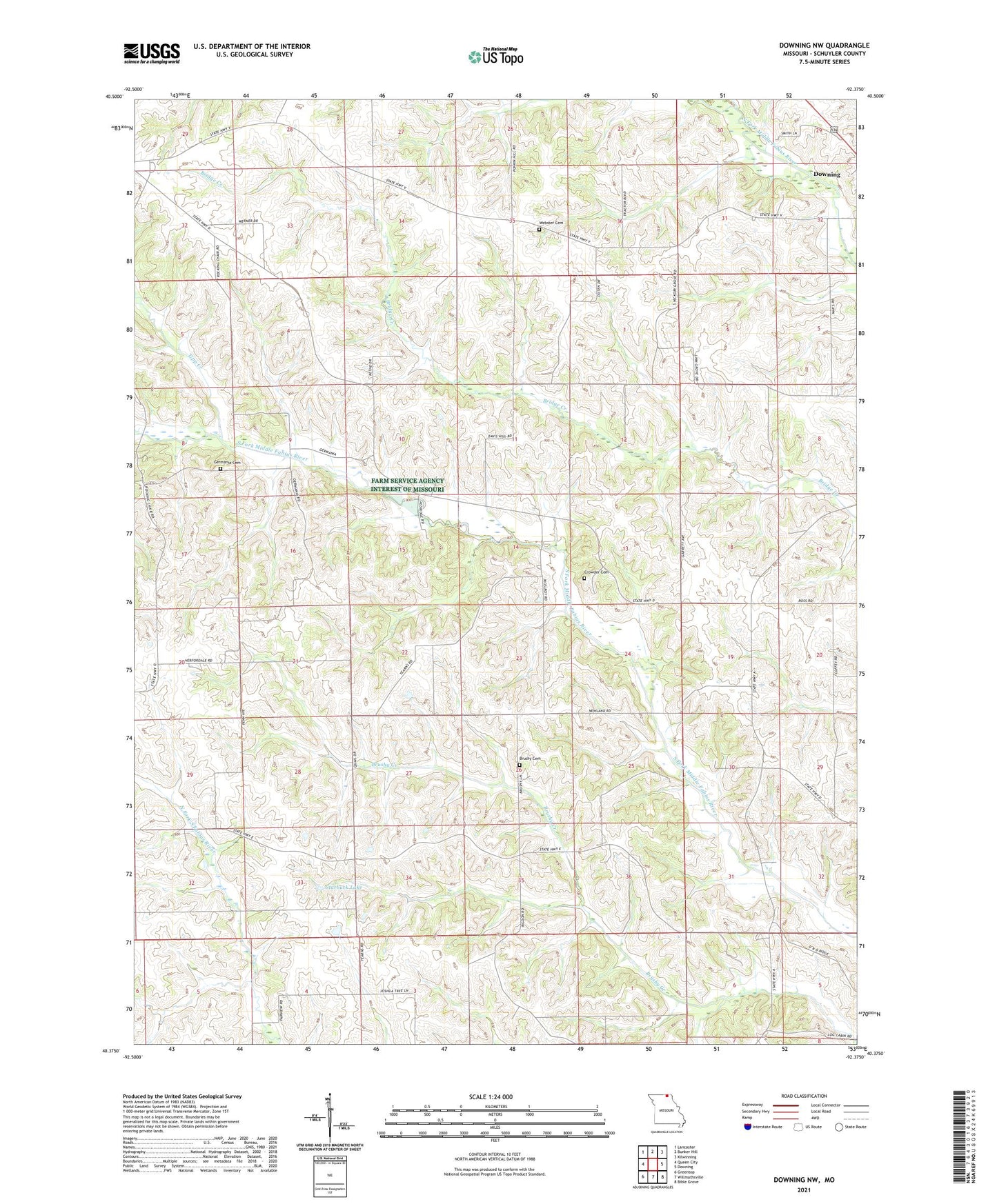
2021 topographic map quadrangle Downing NW in the state of Missouri. Scale: 1:24000. Based on the newly updated USGS 7.5' US Topo map series, this map is in the following counties: Schuyler. The map contains contour data, water features, and other items you are used to seeing on USGS maps, but also has updated roads and other features. This is the next generation of topographic maps. Printed on high-quality waterproof paper with UV fade-resistant inks.
Quads adjacent to this one:
West: Queen City
Northwest: Lancaster
North: Bunker Hill
Northeast: Kilwinning
East: Downing
Southeast: Bible Grove
South: Willmathsville
Southwest: Greentop
This map covers the same area as the classic USGS quad with code o40092d4.
Contains the following named places: Brushy Cemetery, Brushy Church, Brushy School, Charity School, Clifton, Coffey School, Crowder Cemetery, Elm Grove School, Fairview School, Germania, Germania Cemetery, Hickory Grove School, Ivan Starbuck Dam, Klein School, Pin Oak School, Saint John Church, Sloop School, Starbuck Lake, Tipp Creek, Tipp School, Township of Independence, Webster Cemetery