MyTopo
East Prairie Missouri US Topo Map
Couldn't load pickup availability
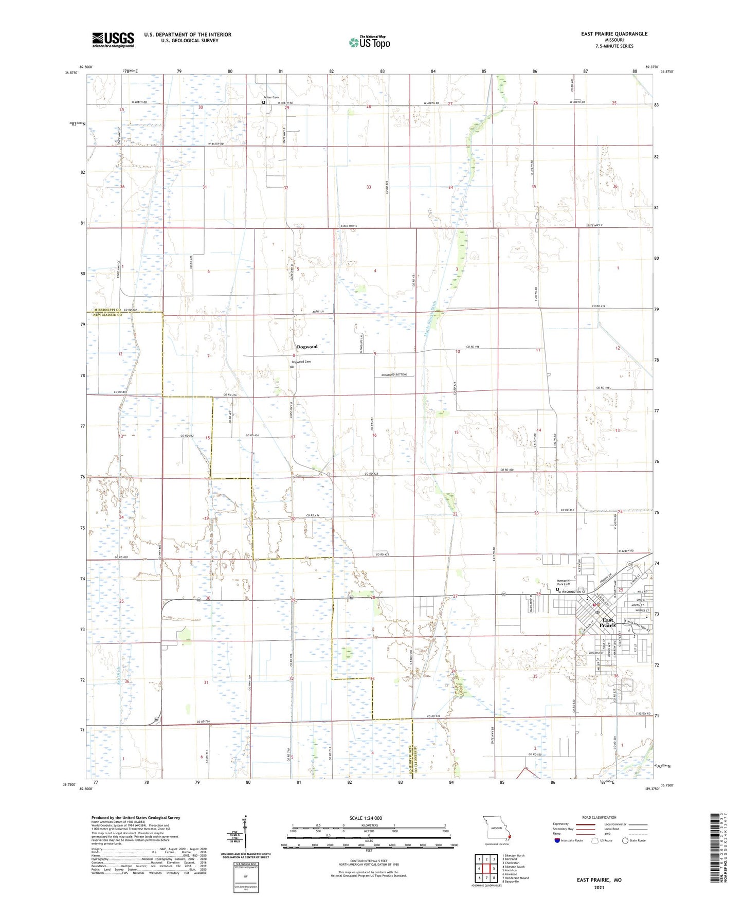
2021 topographic map quadrangle East Prairie in the state of Missouri. Scale: 1:24000. Based on the newly updated USGS 7.5' US Topo map series, this map is in the following counties: Mississippi, New Madrid. The map contains contour data, water features, and other items you are used to seeing on USGS maps, but also has updated roads and other features. This is the next generation of topographic maps. Printed on high-quality waterproof paper with UV fade-resistant inks.
Quads adjacent to this one:
West: Sikeston South
Northwest: Sikeston North
North: Bertrand
Northeast: Charleston
East: Anniston
Southeast: Bayouville
South: Henderson Mound
Southwest: Kewanee
Contains the following named places: Armer Cemetery, Armour School, Ash Ditch, Bement Church, Bridges Church, Bridges School, Cades School, City of East Prairie, Defield, Dogwood, Dogwood Cemetery, Dogwood Church, Dogwood School, Doyle School, East Prairie, East Prairie Fire Department, East Prairie Police Department, East Prairie Post Office, Harriman School, Lower Dogwood School, Maple Slough Ditch, Martin School, Miller Church, Miller School, Township of Saint James, Union Grove Church, Webb School, Yellow Dog School