MyTopo
Kewanee Missouri US Topo Map
Couldn't load pickup availability
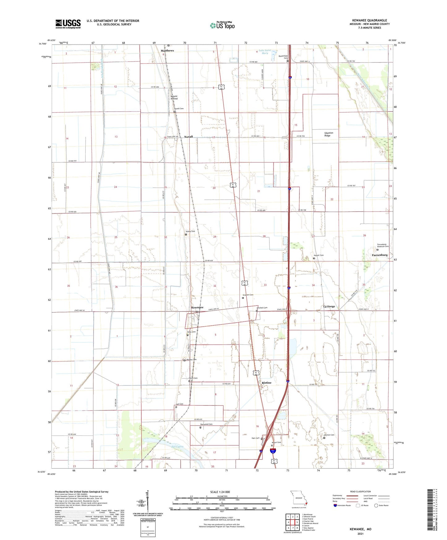
2021 topographic map quadrangle Kewanee in the state of Missouri. Scale: 1:24000. Based on the newly updated USGS 7.5' US Topo map series, this map is in the following counties: New Madrid. The map contains contour data, water features, and other items you are used to seeing on USGS maps, but also has updated roads and other features. This is the next generation of topographic maps. Printed on high-quality waterproof paper with UV fade-resistant inks.
Quads adjacent to this one:
West: Charter Oak
Northwest: Morehouse
North: Sikeston South
Northeast: East Prairie
East: Henderson Mound
Southeast: Hubbard Lake
South: New Madrid
Southwest: Catron
This map covers the same area as the classic USGS quad with code o36089f5.
Contains the following named places: Ash Slough Ditch, Bloomfield Cemetery, Crow Church, Davis Cemetery, Dawson Cemetery, Dawson LaForge School, Dawson School, Farrenburg, Graham Cemetery, Hart Cemetery, Hunter Cemetery, Kewanee, Kewanee and Laforge Rural Volunteer Fire Department, Kewanee Post Office, Knox Cemetery, La Forge, Lake Saint Mary, Lee Cemetery, Malone Airfield, Matthews Cemetery, Mitchell Cemetery, Moore Cemetery, Mount Olive Church, Noxall, Noxall Cemetery, Ogden, Ogden School, Rhodes Cemetery, Ristine, Roberson Church, Rosenwald School, Sherwood Cemetery, Sikeston Ridge, Steele Cemetery, Township of New Madrid, White Oak School, ZIP Codes: 63860, 63867