MyTopo
Henderson Mound Missouri US Topo Map
Couldn't load pickup availability
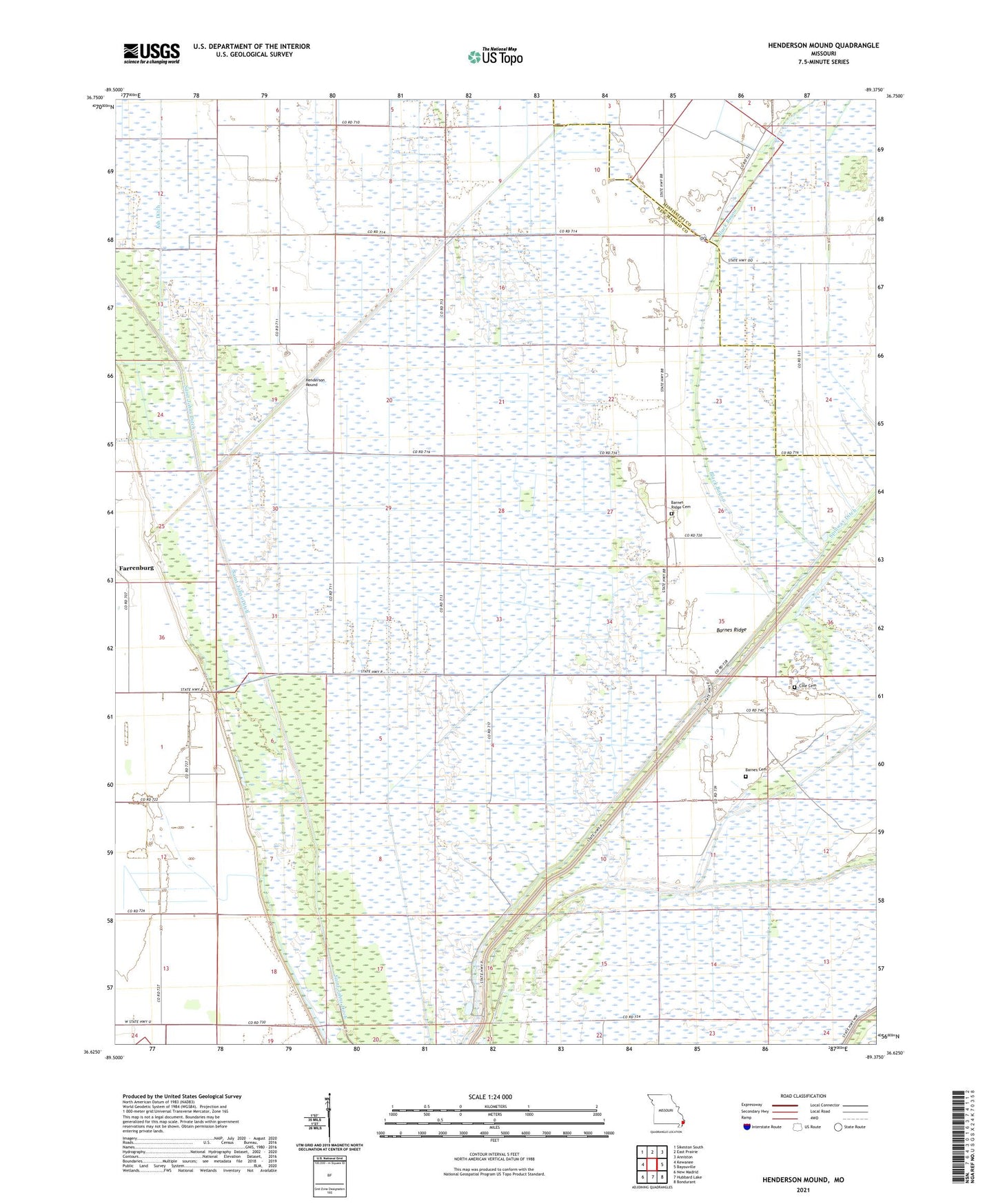
2021 topographic map quadrangle Henderson Mound in the state of Missouri. Scale: 1:24000. Based on the newly updated USGS 7.5' US Topo map series, this map is in the following counties: New Madrid, Mississippi. The map contains contour data, water features, and other items you are used to seeing on USGS maps, but also has updated roads and other features. This is the next generation of topographic maps. Printed on high-quality waterproof paper with UV fade-resistant inks.
Quads adjacent to this one:
West: Kewanee
Northwest: Sikeston South
North: East Prairie
Northeast: Anniston
East: Bayouville
Southeast: Bondurant
South: Hubbard Lake
Southwest: New Madrid
This map covers the same area as the classic USGS quad with code o36089f4.
Contains the following named places: Barnes Cemetery, Barnes Ridge, Barnes Ridge Church, Barnes Ridge School, Black Bayou, Coal Oil Ditch, Cole Cemetery, Ditch Number 10, Henderson Mound, Henderson Mounds E B G Airport, Huff School, Peck and Imhoff, Pioneer, Selkirk, Township of Hough, Walnut Grove School