MyTopo
Edgehill Missouri US Topo Map
Couldn't load pickup availability
Also explore the Edgehill Forest Service Topo of this same quad for updated USFS data
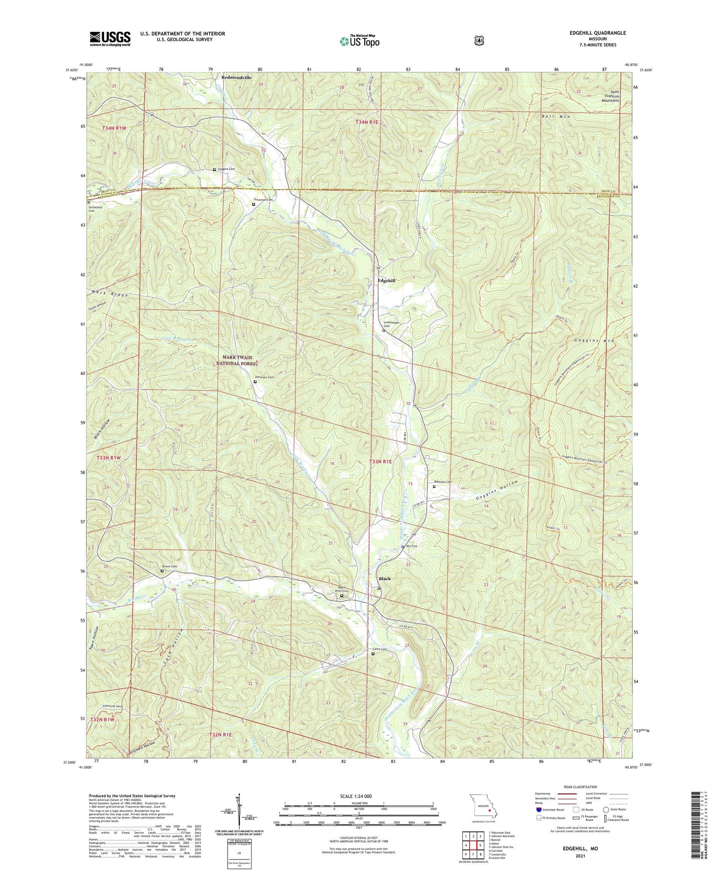
2021 topographic map quadrangle Edgehill in the state of Missouri. Scale: 1:24000. Based on the newly updated USGS 7.5' US Topo map series, this map is in the following counties: Reynolds, Iron. The map contains contour data, water features, and other items you are used to seeing on USGS maps, but also has updated roads and other features. This is the next generation of topographic maps. Printed on high-quality waterproof paper with UV fade-resistant inks.
Quads adjacent to this one:
West: Oates
Northwest: Viburnum East
North: Johnson Mountain
Northeast: Banner
East: Johnson Shut-Ins
Southeast: Lesterville
South: Centerville
Southwest: Corridon
This map covers the same area as the classic USGS quad with code o37090e8.
Contains the following named places: Black, Black Post Office, Black River Cemetery, Black School, Brown Cemetery, Brushy Creek, Carty Branch, Carty Cemetery, Cash Hollow, Clayton Creek, Edgehill, Edgehill School, Goggins Cemetery, Goggins Hollow, Goggins Mountain, Little Brushy Creek, Long Branch, Luenbergen Cemetery, Ottery Creek, Padfield Branch, Robinett Cemetery, Strickland Cemetery, Strother Creek, Town Hollow, Township of Black River, Troutman Cemetery, ZIP Code: 63625