MyTopo
Fordland Missouri US Topo Map
Couldn't load pickup availability
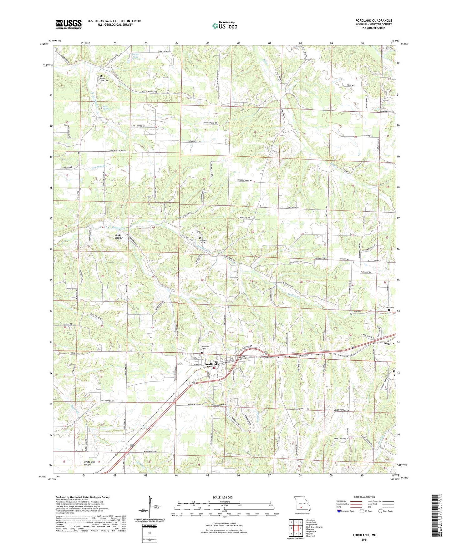
2021 topographic map quadrangle Fordland in the state of Missouri. Scale: 1:24000. Based on the newly updated USGS 7.5' US Topo map series, this map is in the following counties: Webster. The map contains contour data, water features, and other items you are used to seeing on USGS maps, but also has updated roads and other features. This is the next generation of topographic maps. Printed on high-quality waterproof paper with UV fade-resistant inks.
Quads adjacent to this one:
West: Oak Grove Heights
Northwest: Strafford
North: Marshfield
Northeast: High Prairie
East: Seymour
Southeast: Dogwood
South: Bruner
Southwest: Rogersville
Contains the following named places: Bethel School, Burks Hollow, Cass Chapel, Cave Spring, Cave Spring School, Center Point School, City of Fordland, Dutch Hill School, F A Totten Lake Dam, Fordland, Fordland Air Force Station, Fordland Cemetery, Fordland Honor Camp, Fordland Police Department, Fordland Post Office, KDEB-TV (Springfield), KMTC-TV (Springfield), KOLR-TV (Springfield), KOZK-TV (Springfield), KSPR-TV (Springfield), KTOZ-FM (Marshfield), KTXR-FM (Springfield), KYTV-TV (Springfield), Mononame 800 Dam, Mount Olive Cemetery, Mount Olive Church, New Hope School, Normandy School, Ozark Correctional Center, Pleasant Grove Church, Pleasant View Church, Southern Webster County Fire Protection District Station 1, Steward Cemetery, Tandy, Totten Lake, Township of Dallas, Township of East Benton, Township of East Dallas, Township of Fordland, Zion Cemetery, ZIP Code: 65652