MyTopo
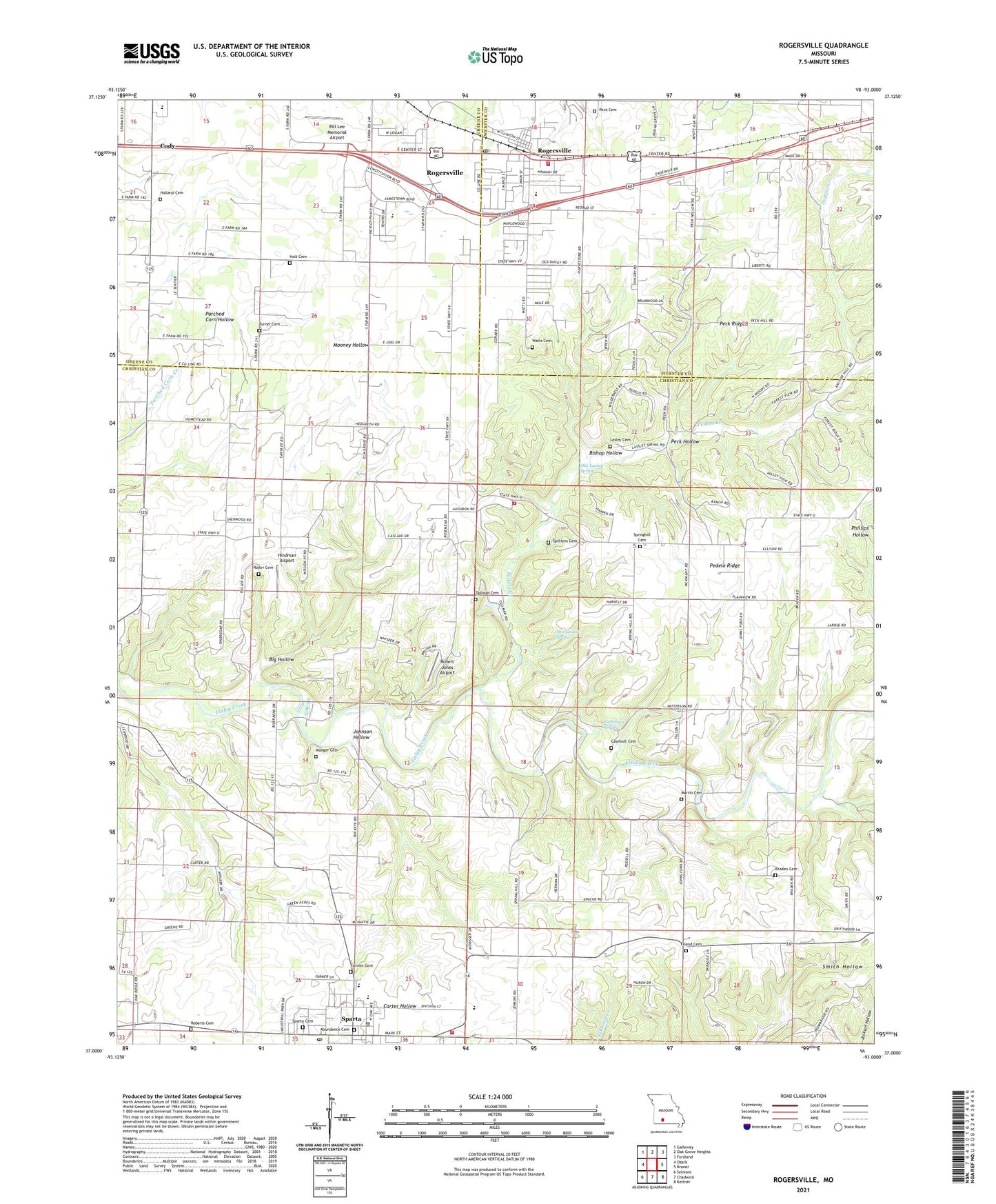
Rogersville Missouri US Topo Map
Couldn't load pickup availability
2021 topographic map quadrangle Rogersville in the state of Missouri. Scale: 1:24000. Based on the newly updated USGS 7.5' US Topo map series, this map is in the following counties: Christian, Webster, Greene. The map contains contour data, water features, and other items you are used to seeing on USGS maps, but also has updated roads and other features. This is the next generation of topographic maps. Printed on high-quality waterproof paper with UV fade-resistant inks.
Quads adjacent to this one:
West: Ozark
Northwest: Galloway
North: Oak Grove Heights
Northeast: Fordland
East: Bruner
Southeast: Keltner
South: Chadwick
Southwest: Selmore
This map covers the same area as the classic USGS quad with code o37093a1.
Contains the following named places: Big Hollow, Bill Lee Memorial Airport, Bishop Hollow, Blue Star School, Braden Cemetery, Camp Finbrook, Casebolt Cemetery, City of Rogersville, City of Sparta, Cody, Elm Grove Church, Elm Grove School, Farmer Cemetery, Friend Cemetery, Full Gospel Church, Grace Gospel Church, Harmony Church, Hindman Airport, Holland Cemetery, Holt Cemetery, Johnson Hollow, Kelly Chapel School, KJLR-FM (Sparta), KTTS-FM (Springfield), Lasley Cemetery, Logan - Rogersville Fire Protection District Station 3, Logan - Rogersville Fire Protection District Station 6, Logan-Rogersville High School, Logan-Rogersville School Police, Martin Cemetery, McHaffie School, Monger Cemetery, Monger Church, New Liberty Church, Olie Lasley Spring, Otto Lasley Spring, Patterson Spring, Peck Cemetery, Peck Hollow, Peck Ridge, Pedelo Creek, Pedelo Ridge, Pembina, Pembina Post Office, Petelo School, Plainview Church, Robert Jones Airport, Roberts Cemetery, Rogersville, Rogersville Post Office, Roller Cemetery, Sparta, Sparta Cemetery, Sparta Fire Protection District, Sparta Post Office, Spilliens Cemetery, Spring Hill Church, Springhill Cemetery, Tallman Cemetery, Township of Linden, Township of West Benton, Turner Cemetery, Velsor, Watts Cemetery, ZIP Code: 65753


