MyTopo
Hannibal SE Missouri US Topo Map
Couldn't load pickup availability
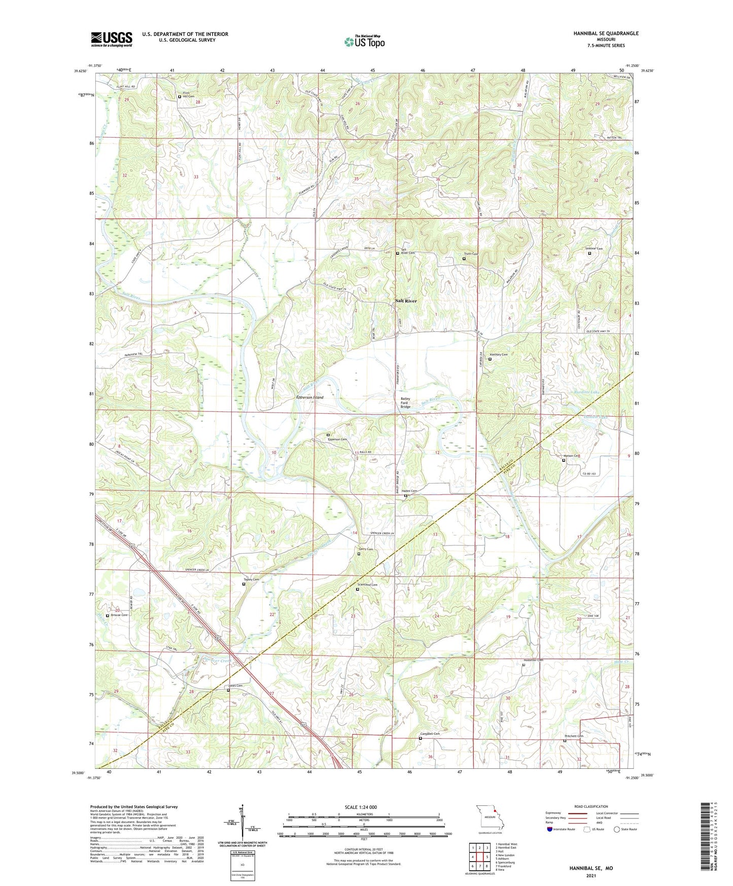
2021 topographic map quadrangle Hannibal SE in the state of Missouri. Scale: 1:24000. Based on the newly updated USGS 7.5' US Topo map series, this map is in the following counties: Ralls, Pike. The map contains contour data, water features, and other items you are used to seeing on USGS maps, but also has updated roads and other features. This is the next generation of topographic maps. Printed on high-quality waterproof paper with UV fade-resistant inks.
Quads adjacent to this one:
West: New London
Northwest: Hannibal West
North: Hannibal East
Northeast: Hull
East: Ashburn
Southeast: Vera
South: Frankford
Southwest: Spencerburg
This map covers the same area as the classic USGS quad with code o39091e3.
Contains the following named places: Bailey Ford Bridge, Barnard School, Briscoe Cemetery, Bueditts Dam, Burditts Lake, Campbell Cemetery, Daniels Lake, Daniels Lake Dam, Epperson Cemetery, Epperson Island, Flint Hill Cemetery, Flint Hill Church, Flint Hill School, Gerry Cemetery, Haden Cemetery, Haden School, Haw Creek Post Office, Hawcreek, Hostetter Cemetery, Hurleys Lake Dam, Jones, Jones Cemetery, Kiethley Cemetery, Matson Cemetery, Oak Ridge School, Peno Creek, Plum Creek, Pritchett Cemetery, Rocky Point Community Center, Rocky Point School, Salt River, Salt River Cemetery, Salt River School, Scantland Cemetery, Sinklear Cemetery, Spencer Creek, Sugar Grove School, Tapley Cemetery, Township of Saverton, Truitt Cemetery, ZIP Code: 63459