MyTopo
Jane Missouri US Topo Map
Couldn't load pickup availability
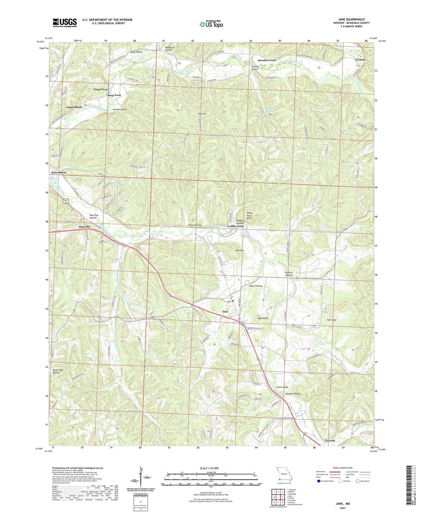
2021 topographic map quadrangle Jane in the state of Missouri. Scale: 1:24000. Based on the newly updated USGS 7.5' US Topo map series, this map is in the following counties: McDonald. The map contains contour data, water features, and other items you are used to seeing on USGS maps, but also has updated roads and other features. This is the next generation of topographic maps. Printed on high-quality waterproof paper with UV fade-resistant inks.
Quads adjacent to this one:
West: Noel
Northwest: Anderson
North: McNatt
Northeast: Bethpage
East: Powell
Southeast: Bentonville North
South: Hiwasse
Southwest: Gravette
This map covers the same area as the classic USGS quad with code o36094e3.
Contains the following named places: B S Ranch Airport, Bear Creek, Bobs Knob, Browning Creek, Brush Creek, Brush Creek Church, Camp Tilden, Clemens Bluff, Crag O Lea, Cyclone, Deep Ford, East Fork Brush Creek, Gordon Hollow, Grannys Branch, Green Hollow, Griffin Ford, Hambrich Hollow, Havenhurst, Hickory Hollow, Highland School, Huckleberry Ridge State Forest, Jackman Lake, Jane, Keaton Lake Dam, Meadors Ford, Miser Hollow, Missouri Creek, Packett Hollow, Pine Hill, Polk Mountain, Polly Hollow, Shady Grove School, Skaggs Hollow, Slate Gap, Sugar Beach, Tanner Branch, Tatter Knob, Town of Jane, Township of Pineville South, Township of White Rock, White Rock Bluff, White Rock Elementary School, White Rock Fire Department, White Rock Prairie, White Rock School, Whittaker Spring, Wolf Pen Hollow, ZIP Code: 64856


