MyTopo
Windyville Missouri US Topo Map
Couldn't load pickup availability
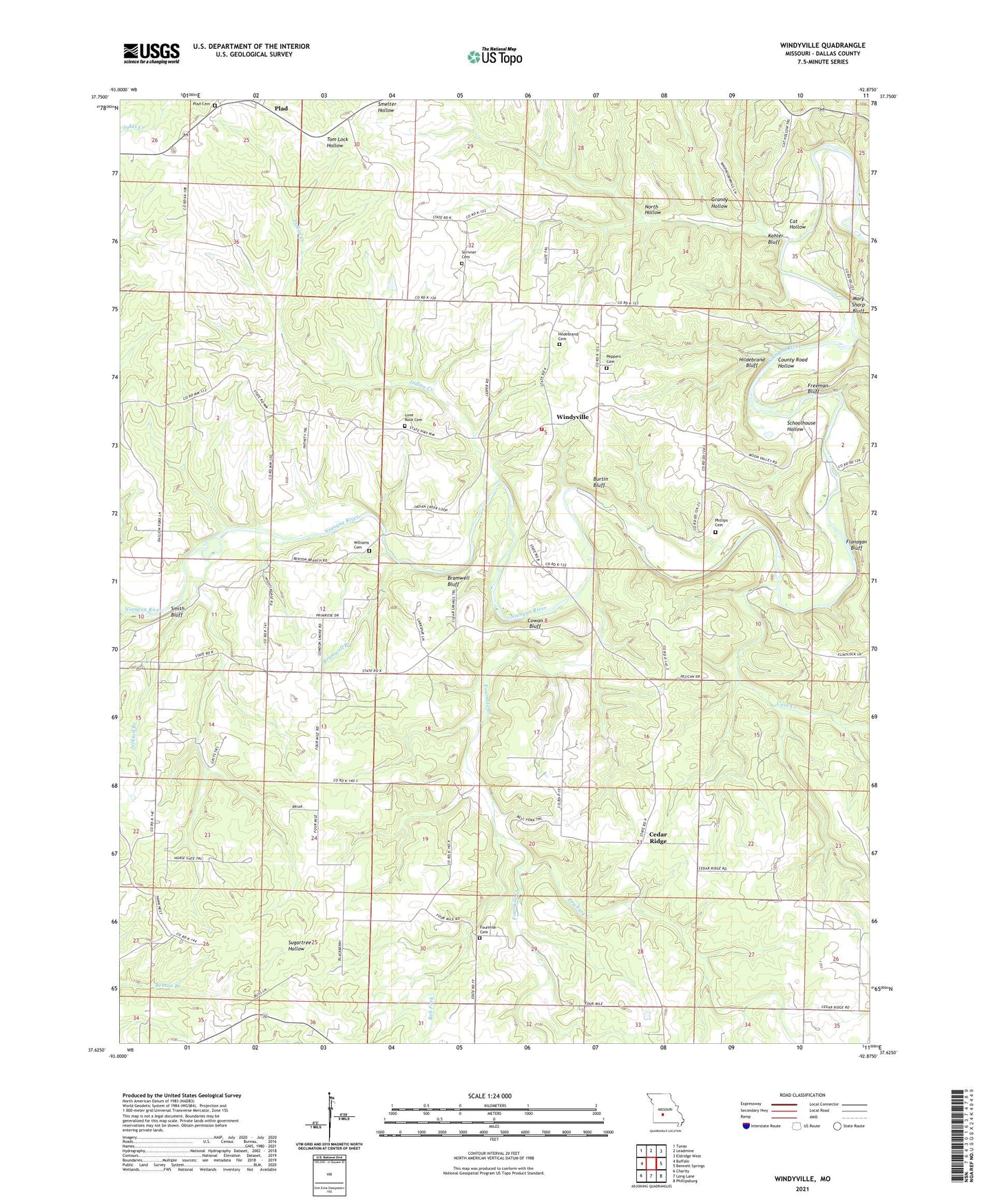
2021 topographic map quadrangle Windyville in the state of Missouri. Scale: 1:24000. Based on the newly updated USGS 7.5' US Topo map series, this map is in the following counties: Dallas. The map contains contour data, water features, and other items you are used to seeing on USGS maps, but also has updated roads and other features. This is the next generation of topographic maps. Printed on high-quality waterproof paper with UV fade-resistant inks.
Quads adjacent to this one:
West: Buffalo
Northwest: Tunas
North: Leadmine
Northeast: Eldridge West
East: Bennett Springs
Southeast: Phillipsburg
South: Long Lane
Southwest: Charity
This map covers the same area as the classic USGS quad with code o37092f8.
Contains the following named places: Bell Fork, Benton Branch, Benton Branch Church, Bramwell Bluff, Bramwell Branch, Burtin Bluff, Camp Aurora, Cansler School, Cat Hollow, Cave Creek, Cedar Ridge, Cedar Ridge Church, Cedar Ridge School, County Road Hollow, Cowan Bluff, Cudd School, Dallas County Community Church, Dallion Ford, Dry Fork, Durington Creek, Eberhart School, English Bennett Ford, Flanagan Bluff, Four Mile Cemetery, Fourmile Church, Fourmile Creek, Fourmile School, Freeman Bluff, Granny Hollow, Hackler Ford, Hackler Ford State Forest, Hildebrand Bluff, Hildebrand Cemetery, Hutton Lake Dam, Indian Creek, Jerktail Branch, Kahler Bluff, London Smoke Church, London Smoke School, Lone Rock Cemetery, Lone Rock Church, Lone Rock School, Mary Sharp Bluff, Moon Valley Access Point, North Hollow, Pepers School, Peppers Cemetery, Phillips Cemetery, Plad, Plad Cemetery, Plad School, Schoolhouse Hollow, Scrivner Cemetery, Smith Bluff, Sugartree Airport, Tilden, Township of Jasper, Williams Cemetery, Windyville, Windyville Church, Windyville Volunteer Fire Department, ZIP Code: 65783