MyTopo
McNatt Missouri US Topo Map
Couldn't load pickup availability
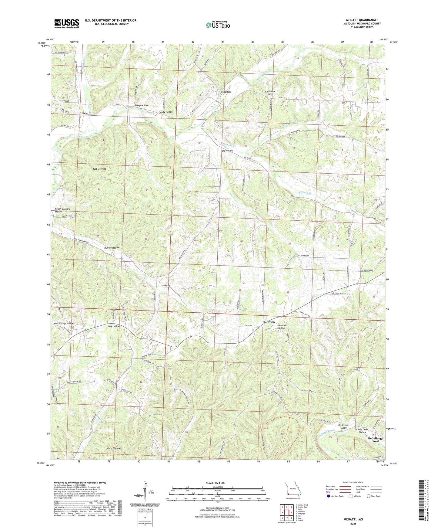
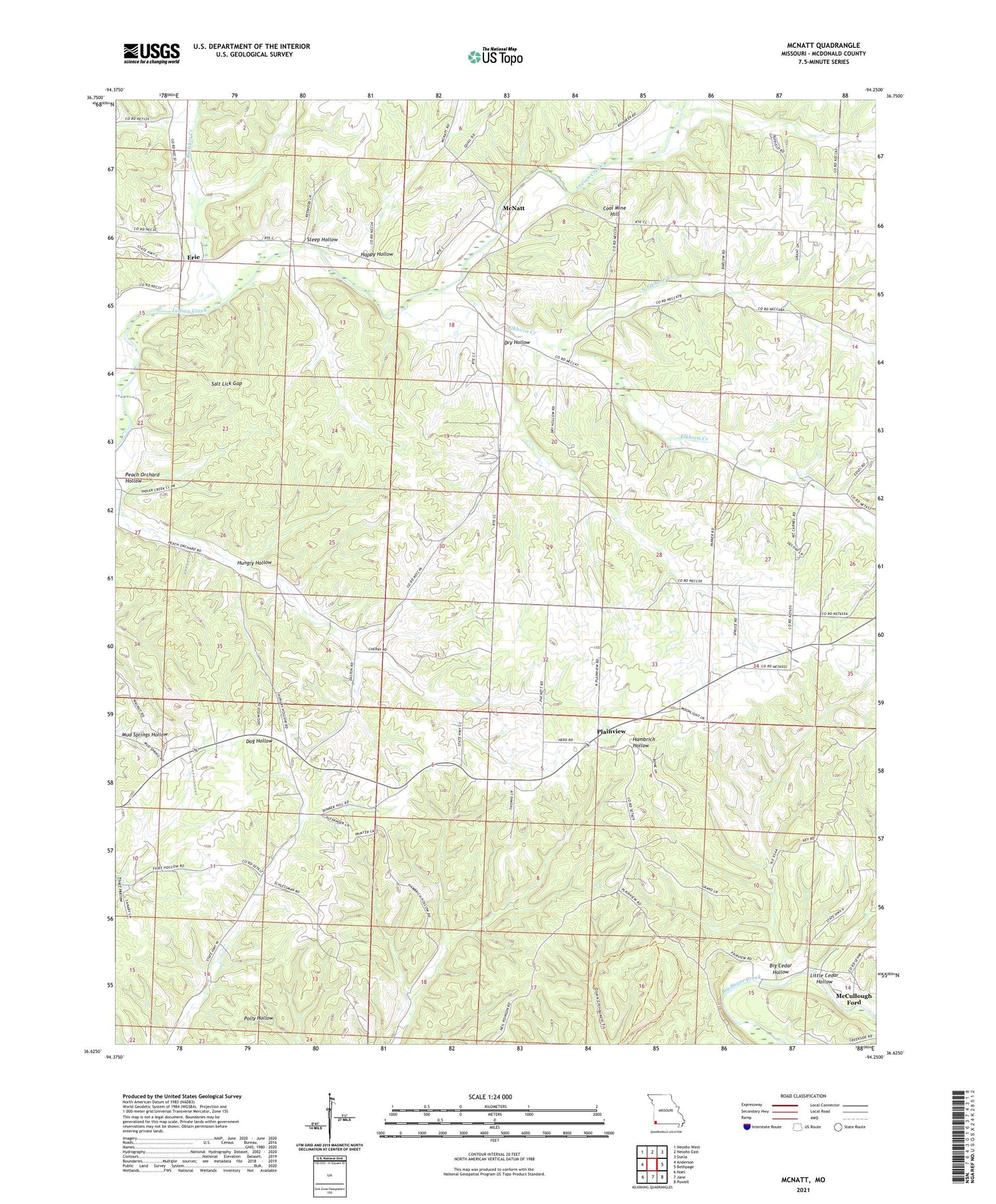
2021 topographic map quadrangle McNatt in the state of Missouri. Scale: 1:24000. Based on the newly updated USGS 7.5' US Topo map series, this map is in the following counties: McDonald. The map contains contour data, water features, and other items you are used to seeing on USGS maps, but also has updated roads and other features. This is the next generation of topographic maps. Printed on high-quality waterproof paper with UV fade-resistant inks.
Quads adjacent to this one:
West: Anderson
Northwest: Neosho West
North: Neosho East
Northeast: Stella
East: Bethpage
Southeast: Powell
South: Jane
Southwest: Noel
Contains the following named places: Barlow School, Big Cedar Hollow, Bullskin Creek, Bunker School, Christian Church, Coal Mine Hill, Dry Hollow, Elkhorn Creek, Elkhorn Tower State Public Hunting Grounds, Erie, Happy Hollow, Hungry Hollow, Indian Springs School, Little Cedar Hollow, McCullough Ford, McDonald County, McNatt, Moral, Mount Carmel Church, North Elkhorn Creek, Peach Orchard Hollow, Plainview, Puckett School, Salt Lick Gap, Steep Hollow, Township of Erie McNatt, Township of Pineville North, Wylie