MyTopo
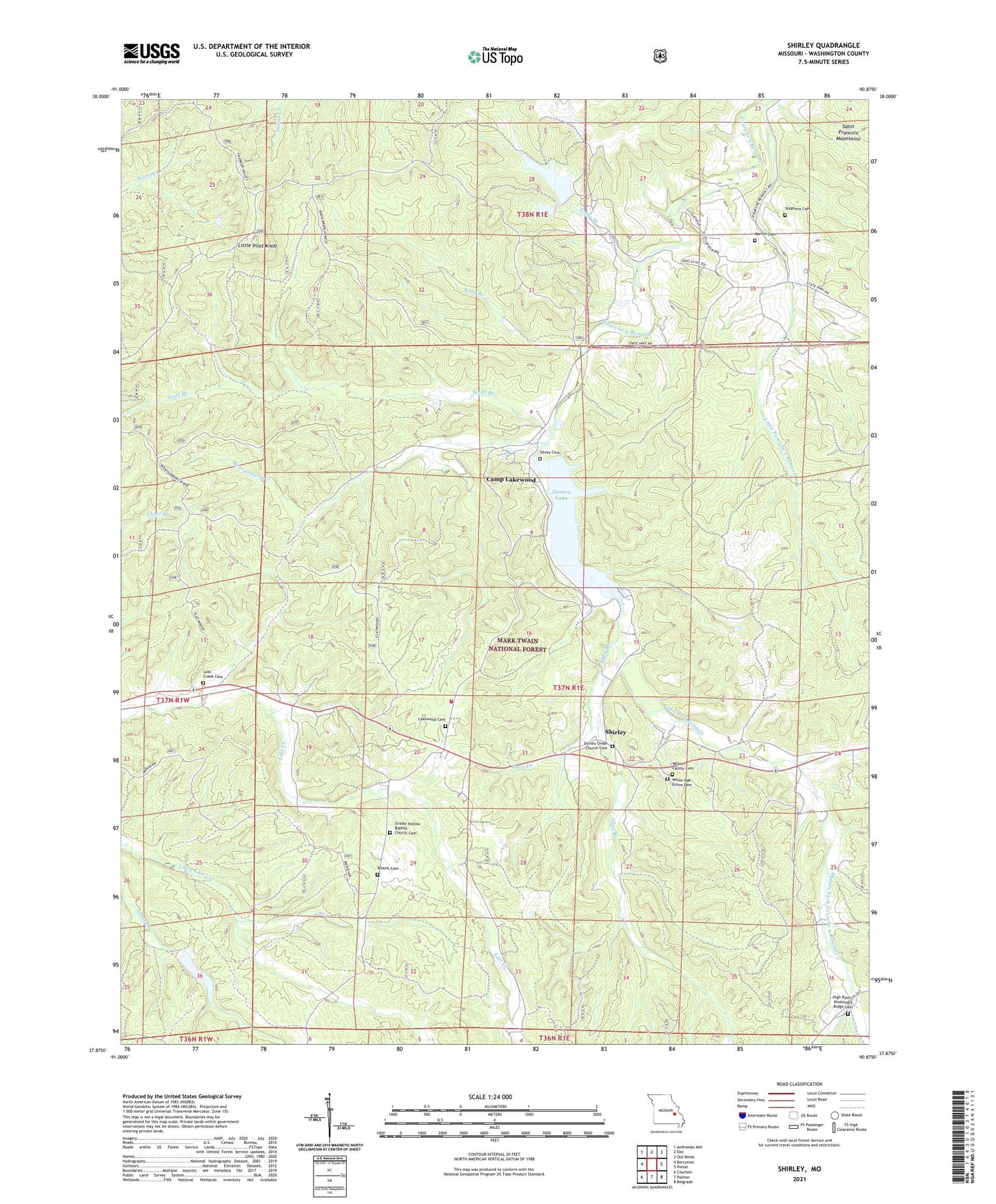
Shirley Missouri US Topo Map
Couldn't load pickup availability
Also explore the Shirley Forest Service Topo of this same quad for updated USFS data
2021 topographic map quadrangle Shirley in the state of Missouri. Scale: 1:24000. Based on the newly updated USGS 7.5' US Topo map series, this map is in the following counties: Washington. The map contains contour data, water features, and other items you are used to seeing on USGS maps, but also has updated roads and other features. This is the next generation of topographic maps. Printed on high-quality waterproof paper with UV fade-resistant inks.
Quads adjacent to this one:
West: Berryman
Northwest: Anthonies Mill
North: Ebo
Northeast: Old Mines
East: Potosi
Southeast: Belgrade
South: Palmer
Southwest: Courtois
This map covers the same area as the classic USGS quad with code o37090h8.
Contains the following named places: Allen Branch, Ashly Branch, Blount Cemetery, Bunker Hill Baptist Church, Bunker Hill Church, Bunker Hill School, Camp Lakewood, Flint Hill School, Floyd, Floyd Lookout Tower, Grassy Hollow Baptist Church Cemetery, Grassy Hollow Church, Grassy Hollow School, High Point - Missionary Ridge Cemetery, High Point School, Knox Branch, Levy, Little Fourche a Renault, Little Pilot Knob, Lost Creek Cemetery, Lost Creek Church, Martin Cemetery, Middle Fork Fourche a Renault, Missionary Ridge Church, Montgomery Creek, North Fork Fourche a Renault, Potosi Fire Protection District House 2, Race Creek, Sayersbrook Lake, Sayersbrook Lake Dam, Scott Branch, Shirley, Shirley Picnic Area, Shirley School, Shirley Union Church, Shirley Union Church Cemetery, Silvey Cemetery, Stephens Cemetery, Sunnen Dam, Sunnen Lake, Township of Walton, Washington County, White Oak Grove Cemetery, White Oak Grove Church, Wilson Family Cemetery, ZIP Code: 63664